
45,00 €
Cartagena - Population by postal code
Population by postal code of the municipality of Cartagena (Region of Murcia).
(...) Read more »
Excel

45,00 €
Santa Cruz de Tenerife- Population by postal code
Population data by postcode for the province of Santa Cruz de Tenerife (Canary Islands).
(...) Read more »
Excel

350,00 €
Portugal - Population by 7-digit postal code
Excel file with the inhabitants by 7-digit postcodes of Portugal.
(...) Read more »
Excel

98,00 €
Burgos and La Rioja - inhabitants by postcode
Digital map of the province of Burgos and the autonomous community of La Rioja showing the municipalities, postcode boundaries and the number of inhabitants of each postcode.
(...) Read more »
Adobe Illustrator, Acrobat PDF y Excel

Ask price
Number of dwellings by postcode in Spain
Number of dwellings by Postal Code
There are 235 municipalities in Spain with more than 25,000 inhabitants and with more than one postal code within their municipal boundaries.
(...) Read more »
Excel

125,00 €
Portugal - Excel population by 4-digit postal code
Excel file with the inhabitants by 4-digit postcode of Portugal.
(...) Read more »
Excel

151,25 €
Population by census area of Galicia
Number of inhabitants for each census section in Galicia autonomous community, Spain.
(...) Read more »
Excel, KML

90,75 €
Cartagena and Madrid community - Population by postal code
Historical population data by postal code of the municipality of Cartagena (Region of Murcia) and the Community of Madrid.
Population data from 2017 to 2021.
(...) Read more »
Excel

Ask price
Spanish census sections
-Complete Digital map of Census Sections of whole Spain always 100% up to date.
(...) Read more »
Shapefile (.shp), kml y otros formatos.

78,65 €
Andalucia - map of comarcas
Digital map of Andalusia (Andalucia autonomous community, Spain) with the comarcas and municipalities in 100% editable vector format.
(...) Read more »
Adobe Illustrator, Acrobat PDF

175,00 €
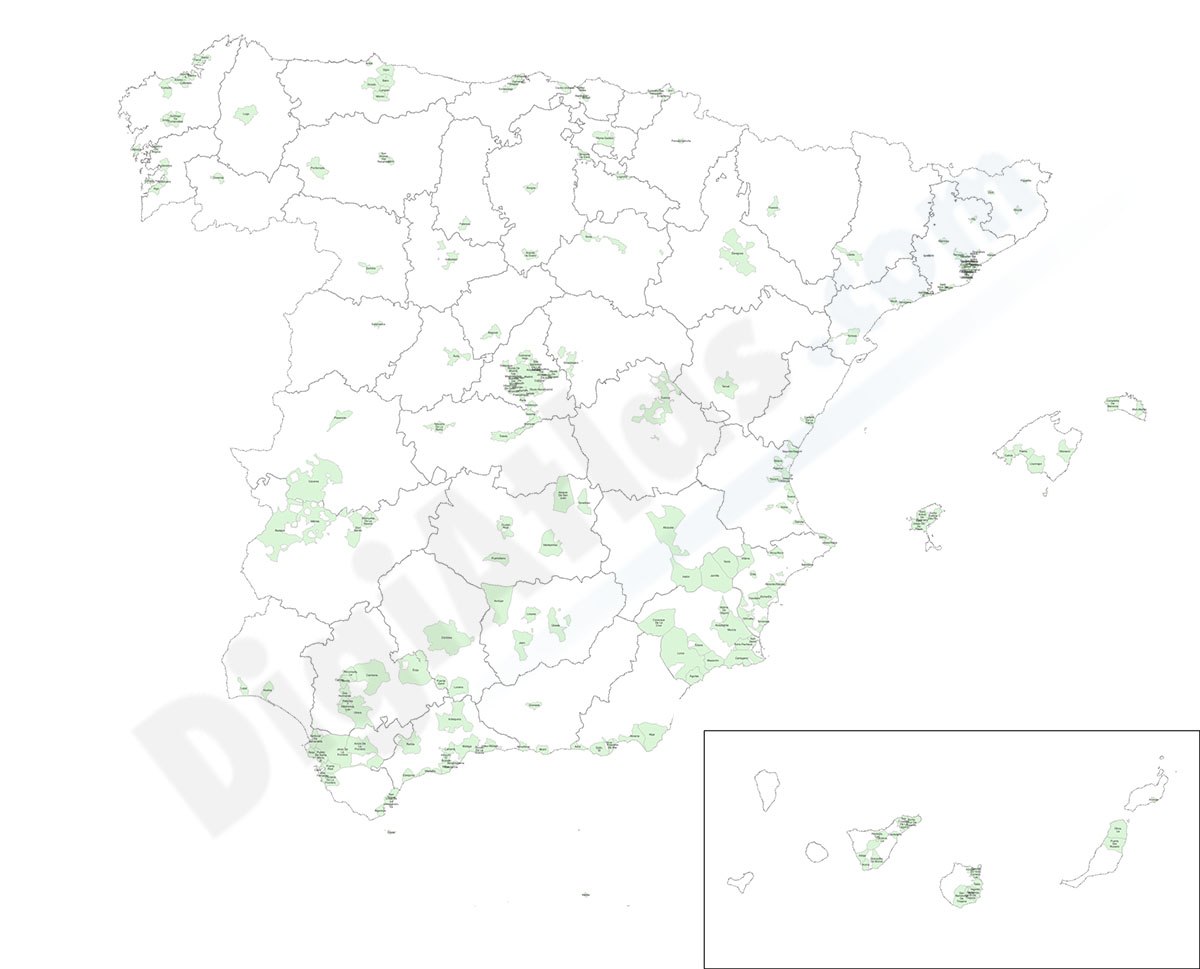
Population by postcode in Spain
-NUMBER OF INHABITANTS OF EACH ZIP CODE IN SPAIN.
Learn the population data for every zip code in Spain with this comprehensive database.
This Excel file is your ultimate resource, providing you with comprehensive information on every zip code in Spain. Covering the entire country, including the Balearic and Canary Islands, Ceuta and Melilla, you'll have the latest population data, updated to 2024, at your fingertips.
Get valuable information on the demographics and population of the different regions of Spain. Useful for market research, planning, business projects, research and anyone interested in learning more about the country.
The database includes a unique identifier for each 5-digit postal code area (idcp), the autonomous community (CCAA), the province, the comarca, the name and INE code of the municipality and the centroid coordinates, along with the total population and gender breakdown for each postal area.
See less «
Excel

175,00 €
Barcelona - City map with portal numbers
Digital street map of Barcelona with street numbers.
(...) Read more »
Acrobat PDF

98,00 €
Gijón - city map
Digital street map of Gijón (Principality of Asturias) with urban area delineation, municipal boundaries and street and square names. Poster size map 1414x1000 mm (ISO B0).
(...) Read more »
Adobe Illustrator, Acrobat PDF

98,00 €
Robinson projected Worldmap centered in Bahrain
Worldmap in Robinson projection centered in Bahrain. Include physical information (colors of topography and bathimetry), country boundaries, capitals, major river and lakes and major cities. Vector fo
(...) Read more »
Acrobat PDF

79,00 €
Pontevedra (Galicia, Spain), map of province with parroquias and villages
Map of province of pontevedra (Galicia, Spain) showing Autonomous Communities and provinces limits, concellos and parroquias boundaries, cities, towns, 'aldeas', highways, major and minor roads, railr
(...) Read more »
Adobe Illustrator, PDF, JPG (300dpi)
