
Ask price
Argentina - map of 4 digit postal codes
Digital map of the postal codes of Argentina in georeferenced Shapefile format.
Shapefile (.shp)

Ask price
Colombia - map of 4 digit postal codes
Digital map of Colombia with the 4-digit postcodes.
Georeferenced cartography of Colombia with the 4-digit postal zones, which refer to the departments and regional zones.
(...) Read more »
Shapefile (.shp)
55,00 €
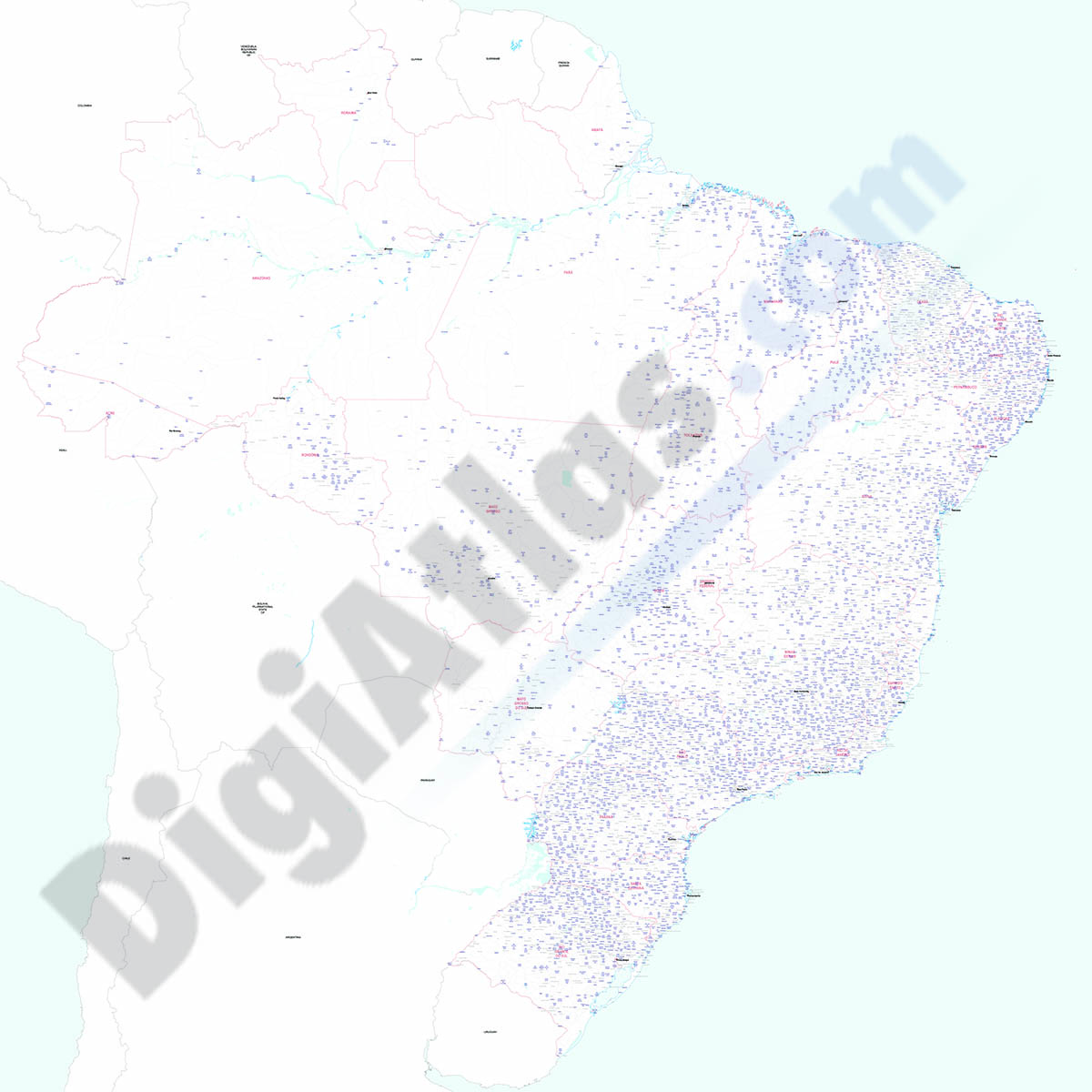
Brazil - city map
Detailed map of Brazil showing the inner administrative division, states, towns and cities. Poster size map in PDF vectorized file format.
Acrobat PDF

98,00 €
Robinson projected Worldmap centered in Bahrain
Worldmap in Robinson projection centered in Bahrain. Include physical information (colors of topography and bathimetry), country boundaries, capitals, major river and lakes and major cities. Vector fo
(...) Read more »
Acrobat PDF

98,00 €
Worldmap Time Zones
Digital world map with time zones. Includes the names of the countries, their capitals and most important cities. Texts in Catalan, Spanish and English. Vectorized file formats, fully editable
(...) Read more »
Adobe Illustrator, Acrobat PDF

98,00 €
Physical-Political DIN A3 Worldmap
Vectorial physical-political world map in Catalan, Spanish and English languages. It includes land and sea relief, coloured countries, their capitals, main cities, rivers, lakes and most relevant geog
(...) Read more »
Adobe Illustrator, Acrobat PDF

55,00 €
Worldmap - countries and capitals
Fully editable vector-file, classroom and educational worldmap. Include country boundaries, their names, capitals and major cities.
Adobe Illustrator, PDF, JPG (300dpi)

75,00 €
Map of Brazil - detailed map
Digital map of Brazil in poster size, with the internal administrative division, states, roads and a large number of cities and towns.
(...) Read more »
Adobe Illustrator, Acrobat PDF
55,00 €
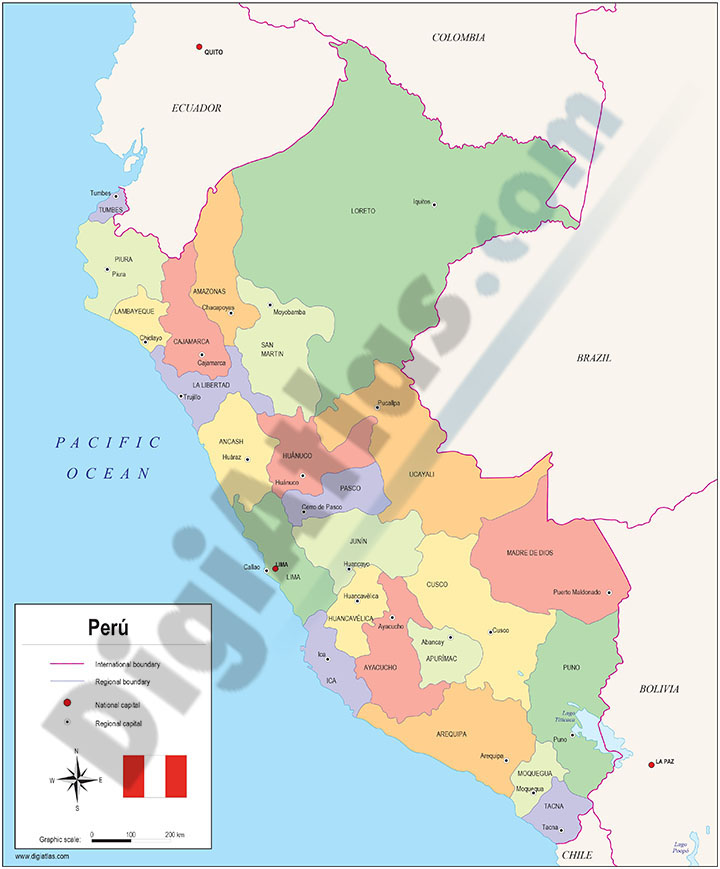
Maps of Central and South american countries with political division
Digital maps of Argentina, Bolivia, Brazil, Chile, Colombia, Ecuador, Guyana, Paraguay, Peru, Surinam, Uruguay, Venezuela, Guatemala, Belize, Honduras, El Salvador, Nicaragua, Costa Rica, Panamá and
(...) Read more »
Adobe Illustrator, Acrobat PDF

98,00 €
China centered political worldmap
Political World map in vector format centered on China.
(...) Read more »
Adobe Illustrator, Acrobat PDF

98,00 €
America centered physical-political Worldmap with Seaports
Fully editable vector-file world map AMERICA centered. Include country boundaries and colors, capitals, major river and lakes and major cities, geographical names. Also include 700 major Seaports.
Adobe Illustrator, Acrobat PDF

19,95 €
Map of Paraguay with major roads
Fully editable vector file. Include roads, political layers of inner administrative division, with their names and capitals.
Adobe Illustrator, PDF

79,00 €
America physical vectorized-relief map
Fully editable vector file map of all AMERICAn continent. Shows colored altimetry and bathymetry, international boundaries, major lakes, country capitals and relevant geographic names. High-resolution
(...) Read more »
Adobe Illustrator, Acrobat PDF

79,00 €
America political and geographical map
Fully editable vector file. Layers: colour and name of countries, international boundaries, major lakes, country capitals and relevant geographic names. High-resolution TIFF relief-image is included.
Adobe Illustrator, PDF + TIFF, JPG (300dpi)

79,00 €
North America political and geographical map
Digital physical and political map of North AMERICA (Canada, USA and Mexico). The map is organised in separate layers with political and geographical information (borders, countries, rivers, lakes, ca
(...) Read more »
Adobe Illustrator, Acrobat PDF + TIFF