
55,00 €
Euskal Herria map
Digital map at a scale of 1:300,000 of the 7 provinces that make up the Basque Country, with administrative boundaries, towns, road network, railway network, main rivers and lakes.
(...) Read more »
Adobe Illustrator, Acrobat PDF
95,00 €
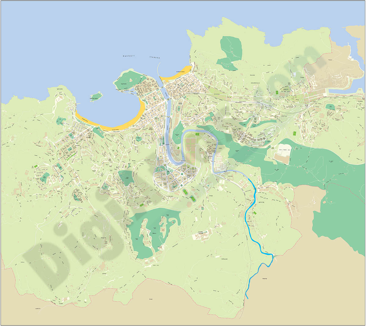
Donostia (Basque Country) city map
Vector-file detailed map of San Sebastian (Donostia), province of Gipuzkoa Basque Country (Spain). All features are in separated layers.
Adoba Illustrator, Acrobat PDF

55,00 €
Euskadi map
Detailed autonomous map of the Basque Country, Euskadi, at a scale of 1:300.000, with the limits of the provinces, road network, rivers and lakes, cities and towns, geographical names. 100% editable v
(...) Read more »
Adobe Illustrator, Acrobat PDF

55,00 €
Beasáin - city map
Vector file map of Beasain (Goierri region of the province of Gipuzkoa, in the Autonomous Community of the Basque Country, Spain). All features are in separated layers.
Adobe Illustrator, PDF

175,00 €
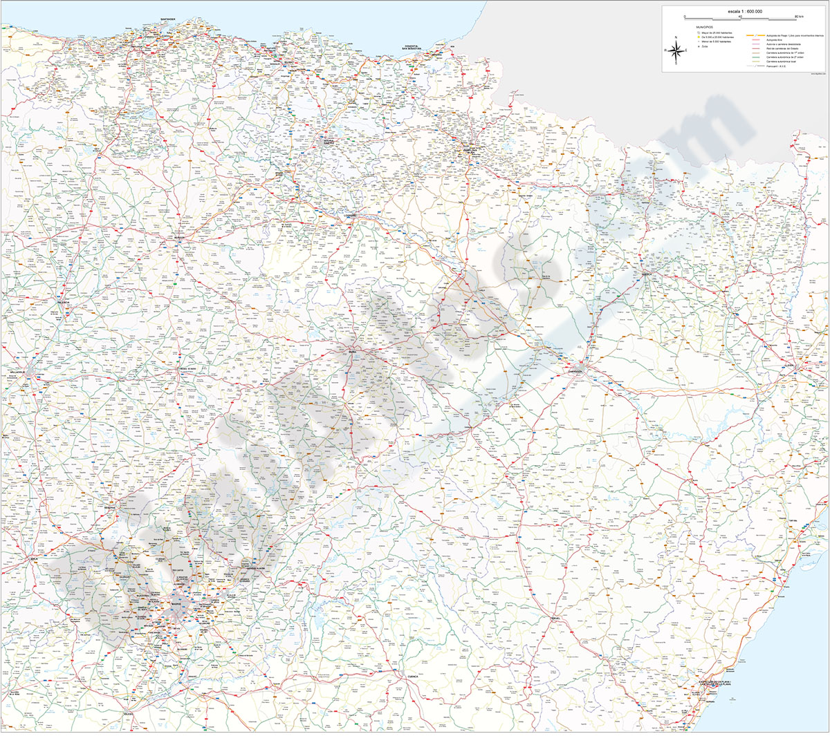
Roadmap of northwestern Spain
Vector file map of Northern and Western Autonomous communities of Spain, with all cities and roads, railroad, principal rivers and lakes and other relevant political information. Scale 1:300.000.
Adobe Illustrator, Acrobat PDF
55,00 €
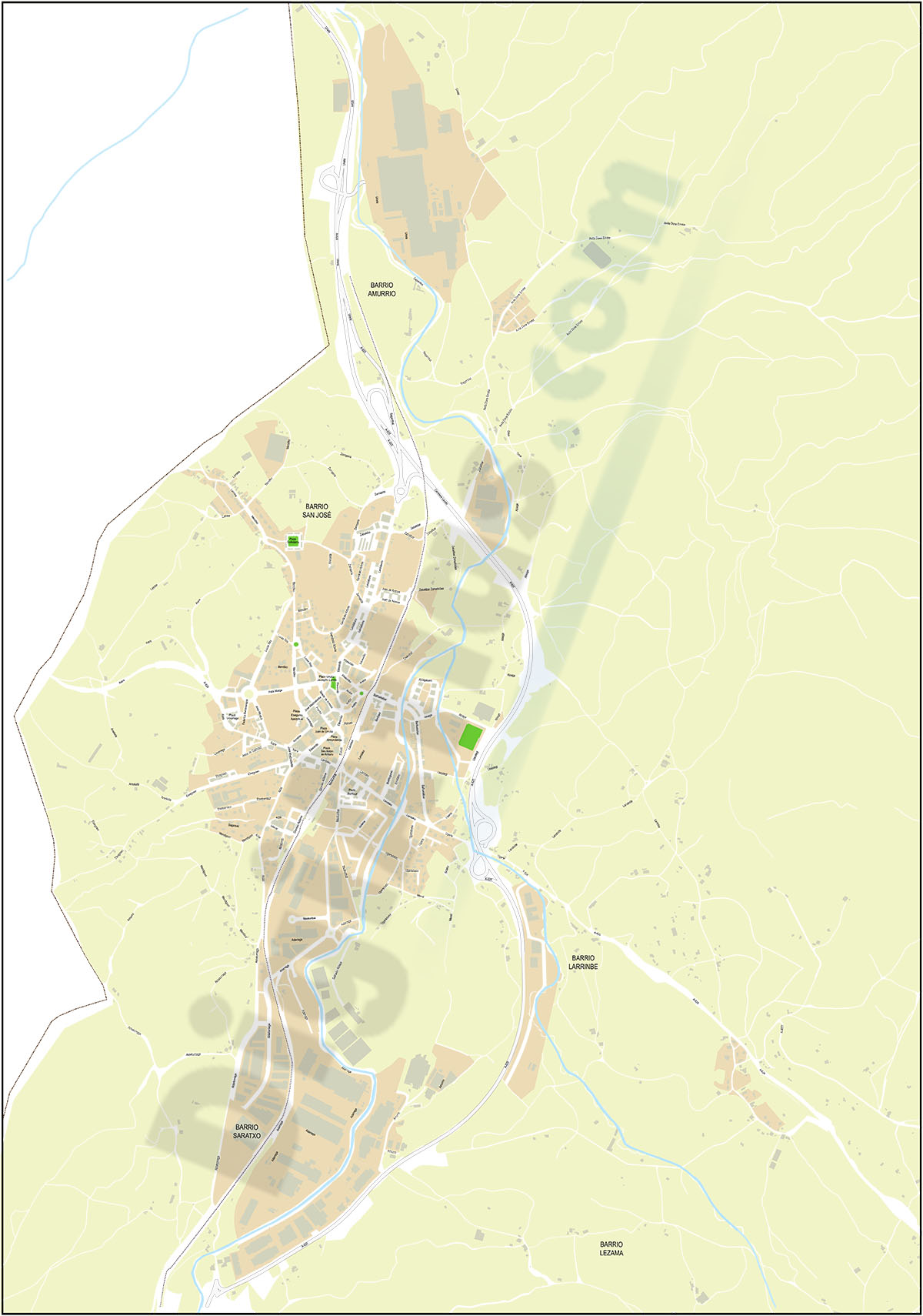
Amurrio & Ondategi - city maps
Vector-file map of Amurrio & Zigoitia (province of Alava, Spain). All features are in separated layers.
Adobe Illustrator, PDF
125,00 €
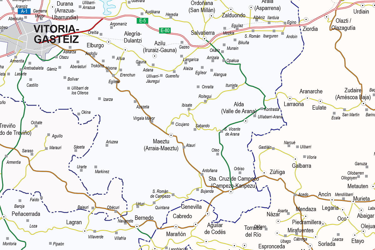
Northern roadmap of Spain
Vector file map of Cantabria, Basque Country, Navarra, La Rioja and Aragón Autonomous communities of Spain, with all cities and roads, railroad, principal rivers and lakes and other relevant politica
(...) Read more »
Adobe Illustrator, Acrobat PDF