
55,00 €
Brazil - city map
Detailed map of Brazil showing the inner administrative division, states, towns and cities. Poster size map in PDF vectorized file format.
Acrobat PDF

19,95 €
Map of Brazil
Digital political map of Brazil with the administrative division of the federation, the member states and the federal district, their names and capitals.
(...) Read more »
Adobe Illustrator, Acrobat PDF

75,00 €
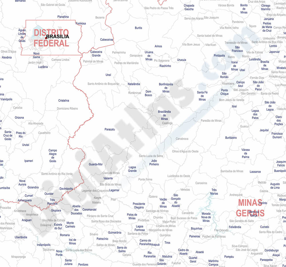
Map of Brazil - detailed map
Digital map of Brazil in poster size, with the internal administrative division, states, roads and a large number of cities and towns.
Two files in vector format can be downloaded: Adobe Illustrator, 100% editable, and Acrobat PDF. Both organised in layers and in poster size for high quality printing.
See less «
Adobe Illustrator, Acrobat PDF