1- Europe map with seaports
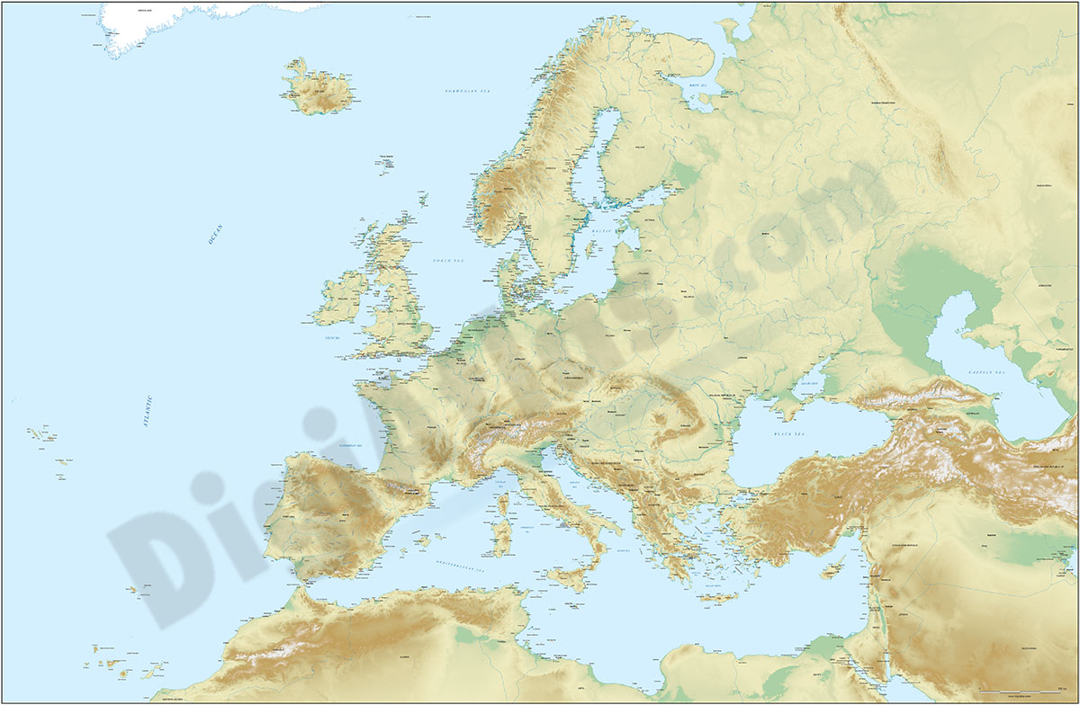
Fully vectorized and editable map of Europe with more than 1200 seaports, country names, their capitals, and a color shaded-relief TIFF image.
Adobe Illustrator, Acrobat PDF, imagen TIFF
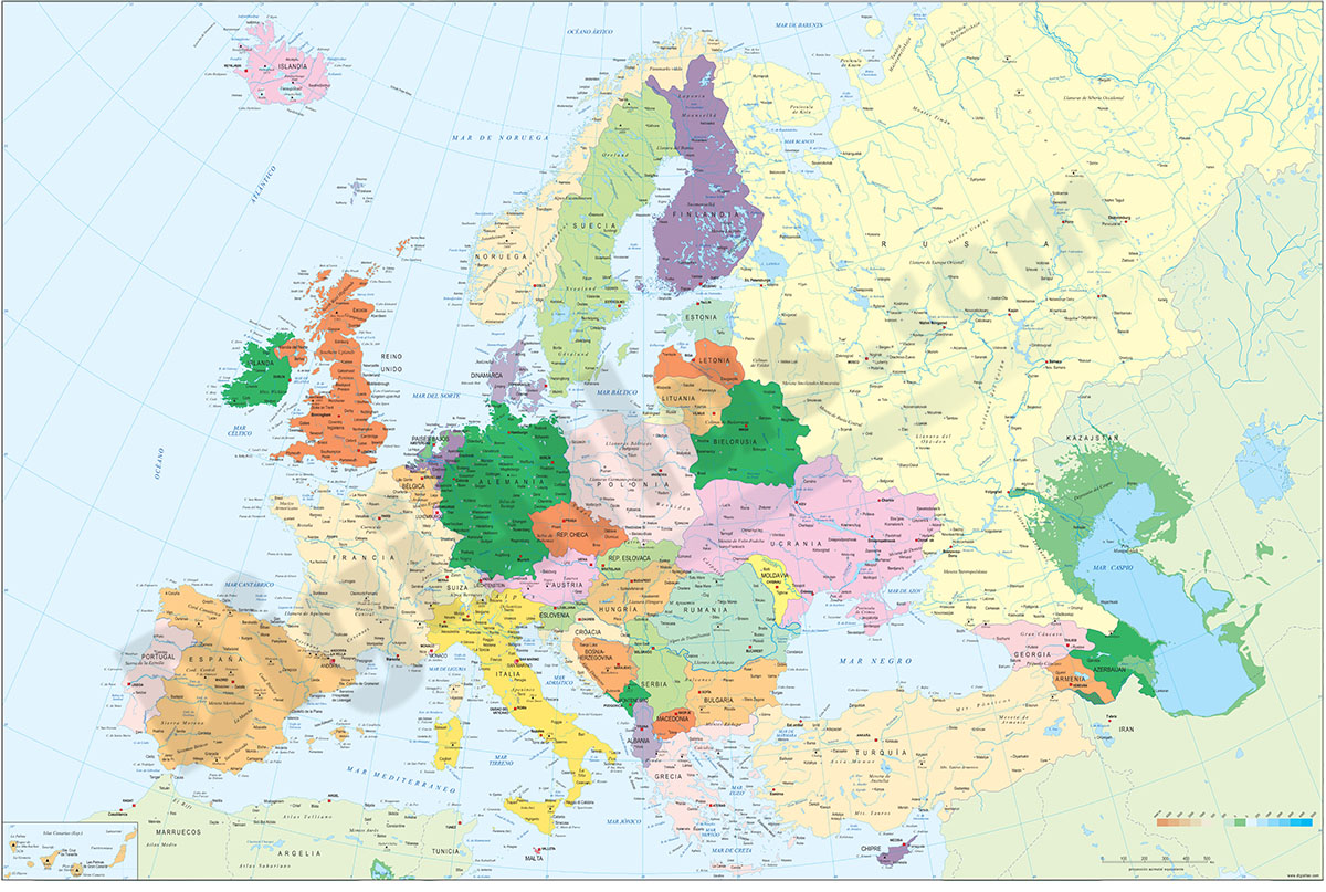
2- Europe political and geographical map
Digital physical and geographical map of Europe.
Digital cartography of the entire European continent with relevant physical and political information. Includes country borders, capitals, major rivers and lakes, important cities and geographical... Read more
Adobe Illustrator, Acrobat PDF + TIFF
3- Map of Lanzarote island (canary islands)

Vector file map of Lanzarote island (Canary Islands, Spain). All features are in separated layers. Include roads, political layers and touristic information.
Adobe Illustrator, Acrobat PDF
4- Map of San Marino

Fully editable vector file. Include political layers of inner administrative division, with their names and capitals.
Adobe Illustrator, PDF