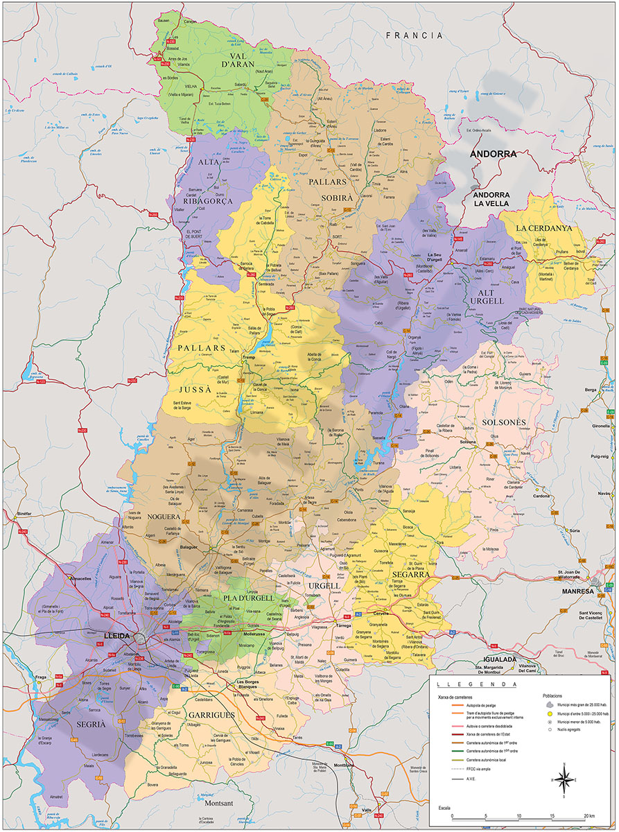
1- Alt Urgell map (comarca in Catalonia)

Digital map of the Alt Urgell comarca (LLEIDA province, Catalunya), showing road network, cities and towns.
Fully editable vectorized file format, organized in separate layers in order to be able to edit and customize the map.
Adobe Illustrator, Acrobat PDF
2- Catalonia - map of municipalities, counties and vegueries
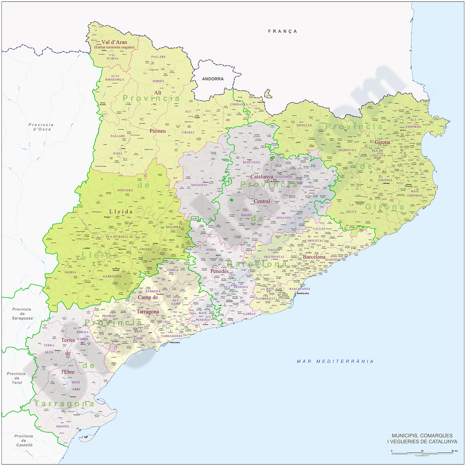
Map of municipalities, comarques and vegueries of Catalonia.
Digital map of Catalonia with the municipalities, county boundaries and the countryside.
Fully editable vectorial map, organized with separate layers to customize colours, texts and... Read more
Adobe Illustrator, Acrobat PDF

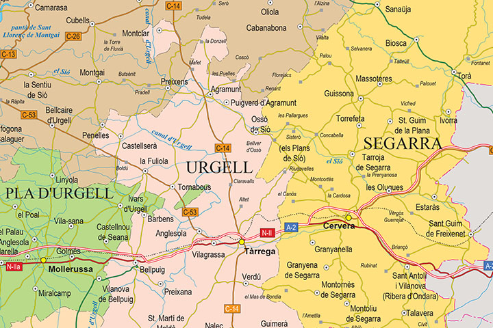
4- Map of the province of Lleida
Digital map of the province of LLEIDA in poster size (scale 1:300.000) showing the autonomous, provincial and municipal boundaries (municipalities), coloured comarcas, capitals of municipalities, cities and towns grouped according to their number of... Read more
Adobe Illustrator, Acrobat PDF