
78,65 €
Andalucia - map of comarcas
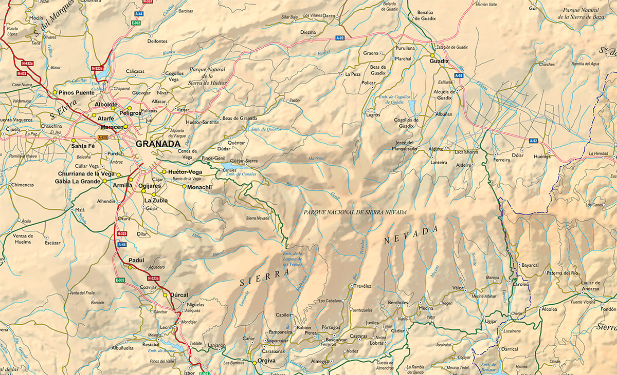
Map of Eastern ANDALUCIA (Granada, Jaen and Almeria provinces), showing community and province boundaries, cities, highways, major and minor roads, railroad, rivers and lakes and relevant geographic i
(...) Read more »
Adobe Illustrator, Acrobat PDF
151,25 €
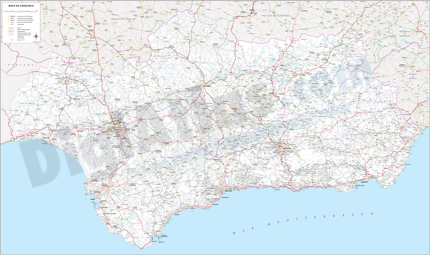
Andalucia Poster Map
Detailed map of all Andalusia autonomous community of Spain at a scale of 1:300.000, with municipal, provincial and autonomous boundaries, rivers and lakes, road network up to local road level, railwa
(...) Read more »
Adobe Illustrator, Acrobat PDF

65,00 €
Andalucia provinces with municipalities
Digital maps of the 8 Andalusian provinces
(...) Read more »
Adobe Illustrator, Acrobat PDF

75,00 €
Costa del Sol political and geographical map
Costa del Sol physical and political map. Vectorized and fully-editable map, showing detailed geographic and touristic information. High-resolution color shaded relief TIFF image is included. Scale: 1
(...) Read more »
Adobe Illustrator, PDF

79,00 €
Map of Eastern Andalucia (Spain)
Map of Eastern ANDALUCIA (Granada, Jaen and Almeria provinces), showing community and province boundaries, cities, highways, major and minor roads, railroad, rivers and lakes and relevant geographic i
(...) Read more »
Adobe Illustrator, Acrobat PDF