

PACK DIGIATLAS
Download up to 15 digital maps of your choice through a subscription to the 'Pack DigiAtlas'.
-Description:
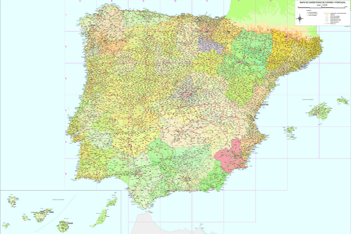
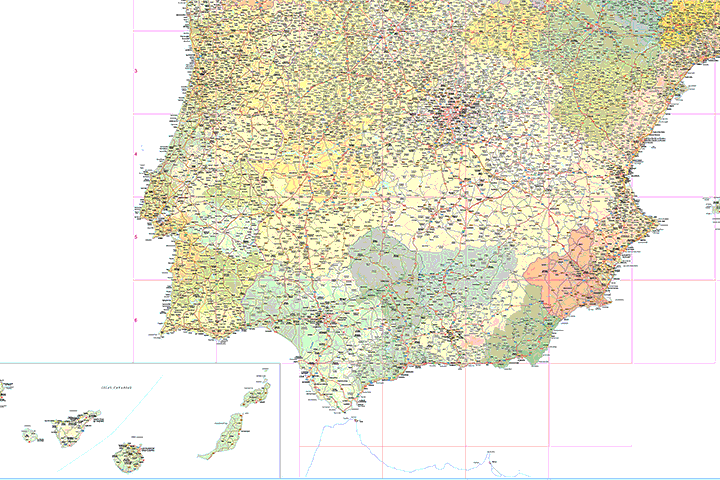
Digital map of roads and towns in Spain and Portugal.
The map shows the administrative boundaries (border, autonomous communities and provinces), road and railway network (Motorways, Motorways, Highways, National, Autonomous and Local roads, conventional train and AVE).
It contains a large number of capitals, cities and towns, rivers and major lakes and airports.
Vector format files are downloaded as a basis for generating physical and political versions of the map. The vector files are 100% editable and are organised in separate layers, which can be displayed and/or hidden, to facilitate the customisation of the map.
(see more information »)
-Original measurements:
150x100 cm (Fully resizable vector file for High-quality printing).
-Download formats:
Adobe Illustrator, Acrobat PDF
-More information:
Poster-size map of towns and roads of Spain and Portugal. Scale 1:1.000.000, fitted on a 150x100 cm canvas.
It contains separate layers for each coloured strip of altimetry (from 0 to 200m, from 200 to 500m, etc.), colours for each province with a degree of transparency to be able to combine the relief and generate a mixed physical-political map.
All the cities and municipal capitals organised in layers according to their number of inhabitants.
Vector format for printing at large size, always with the highest quality.
-You can also request a quote » to modify this map and adapt it to your projects.
Download up to 15 digital maps of your choice through a subscription to the 'Pack DigiAtlas'.

Postcode maps of cities, regions and countries. Optionally with demographic data for geo-marketing projects.

City street maps with delineation of urban areas, streets, squares, parks, green areas, buildings of interest, etc.
DigiAtlas select every week until three random maps from their catalog and intends to offer them at a very lower price than its regular cost.
These maps change every 7 days. If either of them matches your interest take advantage of this opportunity to acquire digital maps to a very special price.