


PACK DIGIATLAS
Download up to 15 digital maps of your choice through a subscription to the 'Pack DigiAtlas'.
-Description:
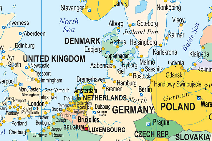
Digital world map with political information. It shows the coloured countries, capitals, main rivers and lakes, important towns, geographical names, seaports and important airports of each country.
It includes a vector file in Adobe Illustrator format organised in layers. This format allows editing and modifying all the elements of the map (lines, colours, texts, etc.).
It also includes an Acrobat PDF file, which can be opened with the Reader included in all computers. This format also allows you to work in layers, hide them and/or visualise them to create different versions of the map.
Available in several languages (Spanish, Catalan, English and French).
-Original measurements:
200x135 cm (Fully resizable vector file for High-quality printing).
-Download formats:
Adobe Illustrator, Acrobat PDF
- This map is also available through the PACK DIGIATLAS »
-You can also request a quote » to modify this map and adapt it to your projects.
Download up to 15 digital maps of your choice through a subscription to the 'Pack DigiAtlas'.

Postcode maps of cities, regions and countries. Optionally with demographic data for geo-marketing projects.

City street maps with delineation of urban areas, streets, squares, parks, green areas, buildings of interest, etc.
DigiAtlas select every week until three random maps from their catalog and intends to offer them at a very lower price than its regular cost.
These maps change every 7 days. If either of them matches your interest take advantage of this opportunity to acquire digital maps to a very special price.