
PACK DIGIATLAS
Download up to 15 digital maps of your choice through a subscription to the 'Pack DigiAtlas'.


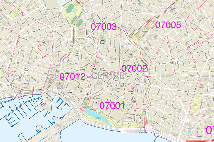
-Description:
Street map of the urban area of Palma (Palma de Mallorca, capital of the Balearic Islands) with the delineation of streets and squares, blocks of houses, parks and green areas, with colors and names.
100% editable vector files are downloaded that allow you to modify and customize colors, texts and styles.
Poster size to print at the desired size always with the highest resolution. It also allows the management of layers, which can be displayed and / or hidden to generate custom versions.
The map is optimized to establish commercial areas, distribution and sales areas, transport routes, graphic design, travel agencies, advertising, etc.
-Original measurements:
100x90 cm (Fully resizable vector file for High-quality printing).
-Download formats:
Adobe Illustrator, Acrobat PDF
-You can also request a quote » to modify this map and adapt it to your projects.
Download up to 15 digital maps of your choice through a subscription to the 'Pack DigiAtlas'.

Postcode maps of cities, regions and countries. Optionally with demographic data for geo-marketing projects.

City street maps with delineation of urban areas, streets, squares, parks, green areas, buildings of interest, etc.
DigiAtlas select every week until three random maps from their catalog and intends to offer them at a very lower price than its regular cost.
These maps change every 7 days. If either of them matches your interest take advantage of this opportunity to acquire digital maps to a very special price.