
PACK DIGIATLAS
Download up to 15 digital maps of your choice through a subscription to the 'Pack DigiAtlas'.

-Description:
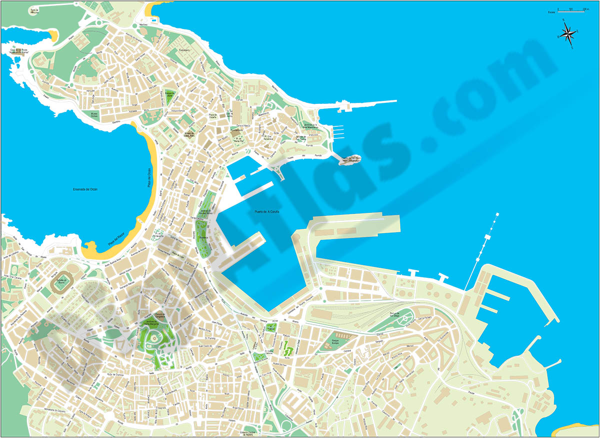
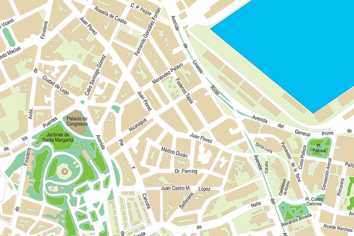
Digital street map of A Coruña (Autonomous Community of Galicia, Spain) showing streets, squares, blocks of flats and green areas, with colours and names.
Poster-size map of the city of A Coruña in vector format, organised in separate layers that can be displayed and/or hidden to generate customised versions of the map.
A 100% editable Adobe Illustrator (.ai) version can be downloaded, allowing you to modify and customise colours, texts and styles. It also includes a second version in PDF format that allows the map to be printed directly at the desired size, always with the maximum resolution.
The map of streets and buildings of A Coruña is optimised for companies and graphic designers who wish to establish distribution and sales areas, transport routes, advertising, communication and marketing, etc.
-Original measurements:
70x50 cm (Fully resizable vector file for High-quality printing).
-Download formats:
Adobe Illustrator, PDF, JPG (300dpi)
-You can also request a quote » to modify this map and adapt it to your projects.
Download up to 15 digital maps of your choice through a subscription to the 'Pack DigiAtlas'.

Postcode maps of cities, regions and countries. Optionally with demographic data for geo-marketing projects.

City street maps with delineation of urban areas, streets, squares, parks, green areas, buildings of interest, etc.
DigiAtlas select every week until three random maps from their catalog and intends to offer them at a very lower price than its regular cost.
These maps change every 7 days. If either of them matches your interest take advantage of this opportunity to acquire digital maps to a very special price.