75,00 €
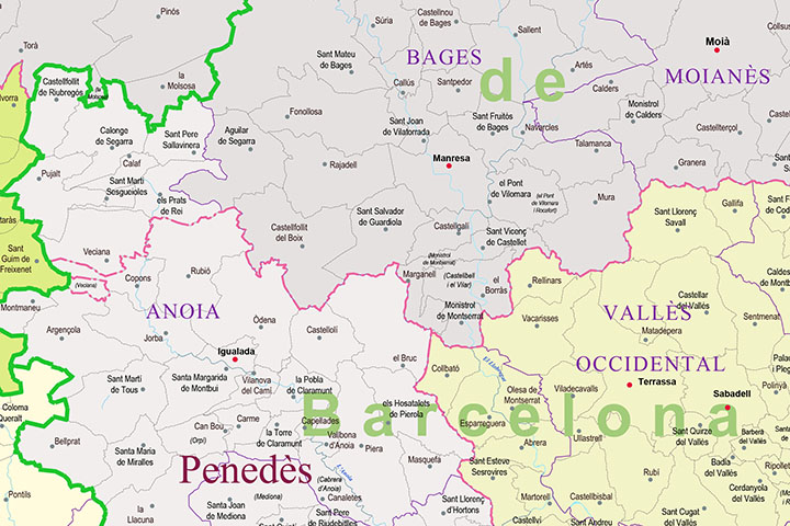
Catalonia - map of municipalities, counties and vegueries
Map of municipalities, comarques and vegueries of CATALONIA.
Digital map of CATALONIA with the municipalities, county boundaries and the countryside.
(...) Read more »
Adobe Illustrator, Acrobat PDF
125,00 €
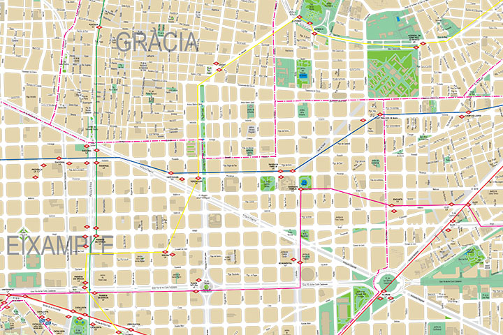
Barcelona City map
Digital street map of Barcelona with the delineation of streets and squares, blocks of houses, parks and green areas, with colours and names of all the streets.
(...) Read more »
Adobe Illustrator, Acrobat PDF

55,00 €
Altafulla - city map
Vector file map of Altafulla city (province of Tarraona, autonomous community of CATALONIA, Spain). All features are in separated layers.
Adobe Illustrator, PDF

75,00 €
Corbera de Llobregat - city map
Digital street map of the town of Corbera de Llobregat (province of Barcelona), with the delineation of streets and squares, blocks of houses and green areas, with colours and names.
(...) Read more »
Adobe Illustrator, Acrobat PDF
55,00 €
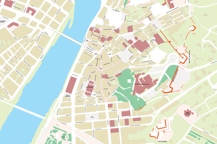
Tortosa - city map of the center
Vector file map of Tortosa city (province of Tarragona, autonomous community of CATALONIA, Spain). All features are in separated layers.
Adobe Illustrator, PDF

59,00 €
Tarragona - province map with municipalities, postal codes and inhabitants
Fully editable vector file of province of Tarragona, showing municipalities borders, 5-digit postcode areas and inhabitants per municipality. Continuously Updated.
Adobe Illustrator, Acrobat PDF
59,00 €
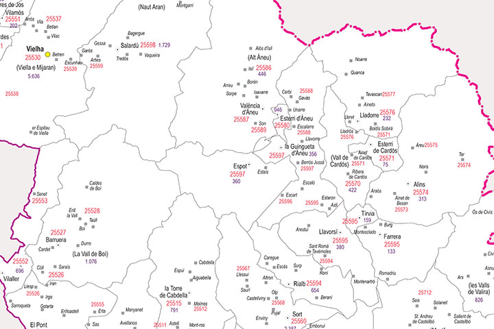
Lleida - province map with municipalities, postal codes and inhabitants
Fully editable vector file of province of Lleida, showing municipalities borders, 5-digit postcode areas and inhabitants.
Adobe Illustrator, PDF

125,00 €
Barcelona city map with postcode districts
Street map of the city of Barcelona with districts and postcodes in digital format.
Map of the entire municipal area of Barcelona with the delineation of the urban area, blocks of houses and unique buildings, hydrographic network, parks, green areas, metro and railway stations, urban roads, district boundaries and all the postcodes and the names of streets and squares.
Two files are downloaded in vector format: Adobe Illustrator (.ai) 100% editable, which allows you to modify and customise colours, texts and styles, as well as to select and colour districts and postcodes separately. A second version in Acrobat PDF format allows the map to be printed directly at the desired size, always with the highest resolution. Both formats are organised in layers that can be displayed and/or hidden to generate different customised versions of the map.
The digital map of Barcelona is created and optimised for use in personal or professional graphic design projects, such as travel agencies, setting up commercial areas, distribution and sales areas, delivery routes, advertising, etc. Updated to the current year.
See less «
Adobe Illustrator, Acrobat PDF
55,00 €
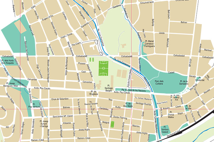
Llinars del Vallès - city map
Vector street map of Llinars del Vallès (province of Barcelona, Spain), with the delineation of streets and squares, blocks of houses and green areas, with colours and names.
(...) Read more »
Adobe Illustrator, Acrobat PDF

Ask price
Les Franqueses - city map
Digital street map of Les Franqueses del Vallès (Province of Barcelona, CATALONIA, Spain), with the delineation of streets and squares, blocks of houses and green areas, with colours and names. All t
(...) Read more »
Adobe Illustrator, Acrobat PDF

59,00 €
Barcelona - province map with municipalities, postal codes and inhabitants
Fully editable vector file map of the province of Barcelona (CATALONIA, Spain) showing municipalities borders, 5-digit postcode areas and inhabitants.
Adobe Illustrator, Acrobat PDF

75,00 €
Terrassa - city map
Digital street map of Terrassa (province of Barcelona, CATALONIA, Spain) with the delineation of streets and squares, blocks of houses, green areas and names of streets and squares.
(...) Read more »
Adobe Illustrator, Acrobat PDF, Microsoft Word

55,00 €
Tarragona - city map of the center
Vector file map of Tarragona center city (autonomous community of CATALONIA, Spain). All features are in separated layers.
Adobe Illustrator, PDF

65,00 €
l'Hospitalet de Llobregat - digital map
Street map of l'Hospitalet de Llobregat (province of Barcelona, CATALONIA, Spain) with details of the urban area and roads.
Download a file in vector format Acrobat PDF of 1x1 meters.
Acrobat PDF
29,00 €
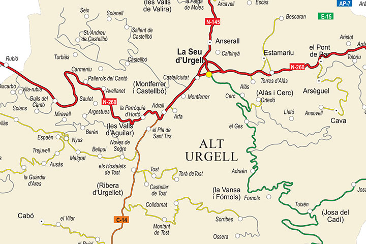
Alt Urgell map (comarca in Catalonia)
Digital map of the Alt Urgell comarca (Lleida province, Catalunya), showing road network, cities and towns.
(...) Read more »
Adobe Illustrator, Acrobat PDF