423,50 €
Excel with population, housing and income data by postcode for Spain
Excel file of all the postcodes in Spain with population, housing and income data.
An Excel file is downloaded that includes a unique identifier for each 5-digit postcode area (idcp), the autonomous community (CCAA), the province, the region, the name and INE code of the municipality, the area in km2 and the coordinates of the centroid.
-Population data: The Excel file also includes the columns with the total number of inhabitants, total Men and total Women. Optionally, a breakdown by gender and 5-year age ranges (five-year age groups) can also be requested.
Dwellings Data: Includes total Dwellings, Principal Dwellings, Non-Principal Dwellings, Owned Dwellings, Rented Dwellings, Other types of Dwellings, Total Households and the breakdown of households of 1 to 5 persons.
-Income Data: Includes Personal Income, Household Income, Gross Personal Income and Gross Household Income.
The coverage of the data covers the entire national territory: mainland Spain, Balearic Islands, Canary Islands, Ceuta and Melilla.
See less «
Excel

Ask price
Florida - map of postcode areas with population
Digital high-quality poster size map of Florida state (United States of America) showing postcodes and the number of inhabitants for each postal area or zone.
(...) Read more »
Adobe Illustrator, Acrobat PDF

Ask price
Greece zip codes map with demographic data
Georeferenced digital map of all 5-digit postcodes in Greece.
(...) Read more »
Shapefile format (.shp), Excel

75,00 €
Inhabitants by Postal Code of the municipality of Madrid
NUMBER OF INHABITANTS BY POSTCODE IN THE MUNICIPALITY OF MADRID.
Excel file with all the postcodes of the municipality of Madrid with population data. Updated to 2026.
(...) Read more »
Excel

1.375,00 €
Italy zip codes map with demographic data
Georeferenced digital cartography of all 5-digit postal codes in Italy.
The postcode areas include information about the region, province, comune, centroid and area in km2.
(...) Read more »
Shapefile format (.shp), Excel
90,00 €
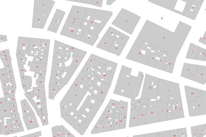
Madrid - Number of dwellings
Digital cartography of the urban area of the Community of Madrid, Spain with the Number of buildings and dwellings in each cadastral parcel.
Shapefile
81,25 €
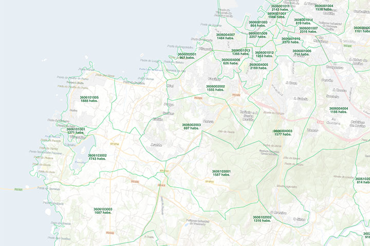
Population by census area in A Corunna
Number of inhabitants per census section in the province of A Coruña.
Excel file and map in KML format with the census sections of the province of A Coruña.
(...) Read more »
Excel, KML
151,25 €
Population by census area of Galicia
Number of inhabitants for each census section in Galicia autonomous community, Spain.
(...) Read more »
Excel, KML

750,00 €
Population by postcode in France
Population by postcode in France
- Excel file with 5-digit postal codes areas of France (Mainland France and Corsica). Data from ‘La Poste’ for 2025.
(...) Read more »
Excel

Ask price
Population for every postcode in France
Population by postcode in France
- Digital map of 5-digit postcodes in France (mainland France and Corsica). Data from ‘La Poste’ for 2025.
(...) Read more »
Shapefile (.shp)
125,00 €
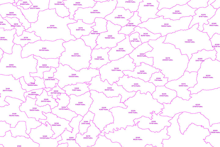
Portugal - Excel population by 4-digit postal code
Excel file with the inhabitants by 4-digit postcode of Portugal.
(...) Read more »
Excel

350,00 €
Portugal - population by 4 digit postal codes
Digital map of Portugal postcodes with population data.
(...) Read more »
Shapefile, Excel
Ask price
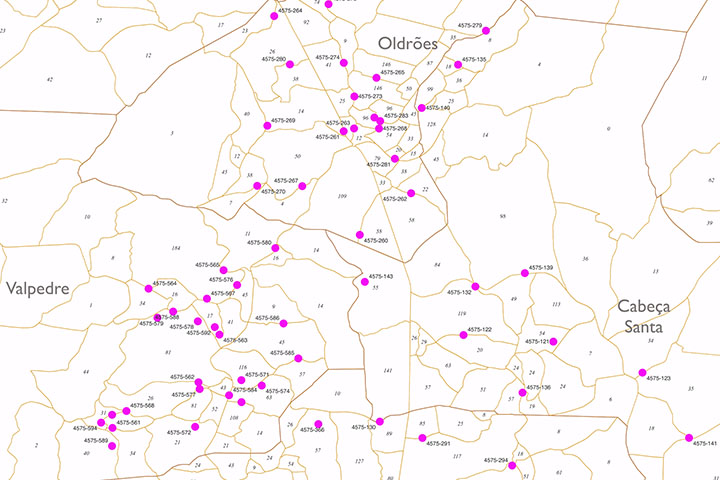
Portugal - Population by 7-digit postal code
Excel file with the inhabitants by 7-digit postcodes of Portugal.
(...) Read more »
Excel
45,00 €
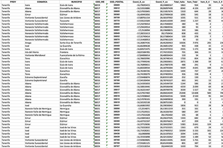
Santa Cruz de Tenerife- Population by postal code
Population data by postcode for the province of Santa Cruz de Tenerife (Canary Islands).
(...) Read more »
Excel
Ask price
Spanish census sections
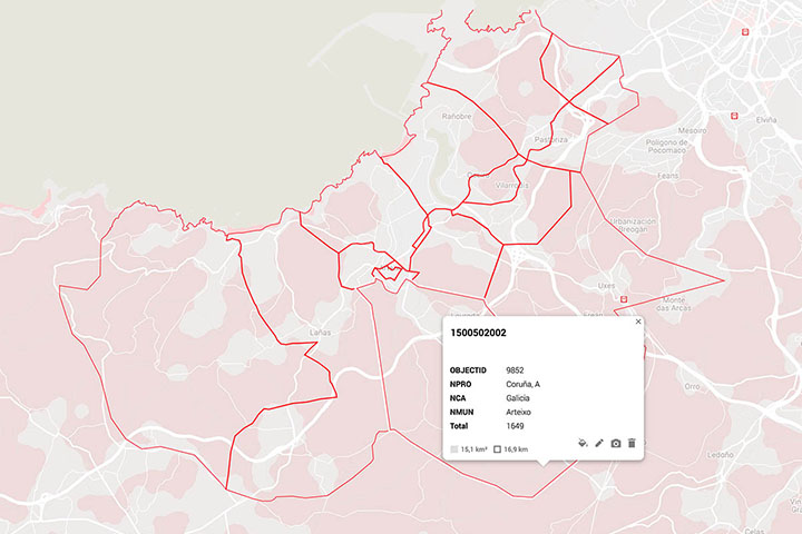
-Complete Digital map of Census Sections of whole Spain always 100% up to date.
(...) Read more »
Shapefile (.shp), kml y otros formatos.