
59,00 €
Map of Santa Cruz de Tenerife island with municipalities and postal codes
Map of Santa Cruz de TENERIFE province (Canary Islands) showing municipalities, towns and postal codes. 100% editable vector files organised in layers.
Adobe Illustrator, Acrobat PDF

45,00 €
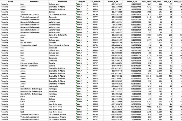
Santa Cruz de Tenerife- Population by postal code
Population data by postcode for the province of Santa Cruz de TENERIFE (Canary Islands).
(...) Read more »
Excel

55,00 €
Tenerife - map of the island with municipalities and postal codes
Map of the island of TENERIFE (Canary Islands - Spain) showing municipalities borders and 5-digits postal codes.
Download vectorized and fully editable map organized in separated layers.
Adobe Illustrator, Acrobat PDF