
59,00 €
Map of Pontevedra province map with municipalities and postal codes
Digital map of the province of PONTEVEDRA (Galicia, Spain) with zip codes, municipalities, capitals, cities and towns grouped according to their number of inhabitants.
The map can be downloaded in two vector files: one in Adobe Illustrator (.ai) format, 100% editable, which allows modifying and customizing colors, texts and styles, as well as managing (coloring) each zip code and each municipality separately.
A second version is in Acrobat PDF format, which allows you to print the map directly at the desired size, always with the highest resolution. Both formats are organized in layers, which can be displayed and/or hidden to generate different types of customized maps.
The postal code map of PONTEVEDRA is optimized for commercial areas, distribution and sales zones, delivery routes, graphic design, advertising, etc. Updated to the current year.
See less «
Adobe Illustrator, Acrobat PDF
59,00 €
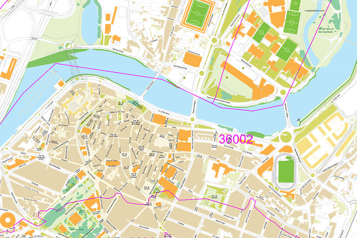
Pontevedra (Galicia, Spain) - city map with postal codes
City Map of PONTEVEDRA (Galicia, Spain) in digital format showing urban blocks of buildings, parks, green zones, street and square names and 5-digit postal code areas. Downloads a fully editable vecto
(...) Read more »
Adobe Illustrator, PDF


69,00 €
Province of Pontevedra and Northern Portugal with postalcodes
Vector-file map of province of PONTEVEDRA (Spain) and N of Portugal with postal codes.
Adobe Illustrator, PDF
59,00 €
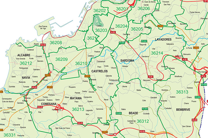
Vigo - city map with postalcodes
Vector-file map of Vigo Metropolitan Area (province of PONTEVEDRA, Spain) with all postal code districts, surrounding municipalities, cities and major roads. Digital map in poster size in high resolut
(...) Read more »
Adobe Illustrator, PDF, JPG (300dpi)