1-
Map of Norway, Sweden, Finland and Denmark with regions and 2 digit postal
-Original measurements: 42x59 cm (A2) (Fully resizable vector file for High-quality printing)
-Download formats: Adobe Illustrator, PDF
Vectorized and fully editable maps of Norway, Sweden, Finland and Denmark (Danmark) showing their regions, capitals and 2-digit postal codes areas. Digital files for high quality printing.
Request quote to personalize and adapt this map just for your needs »
2-
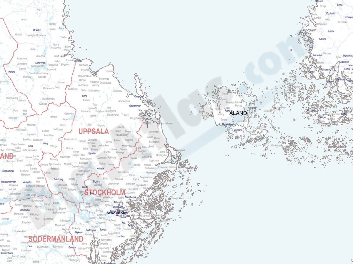
Finland, Norway and Sweden - city map
-Original measurements: 150x150 cm (Fully resizable vector file for High-quality printing)
-Download formats: Acrobat PDF
Detailed map of Finland, Norway and Sweden showing the inner administrative division, counties and municipality borders and a larger number of towns and cities. Poster size map in PDF vectorized file format.
Download for FREE through 'DigiAtlas Pack' inscription »
Request quote to personalize and adapt this map just for your needs »
DIGIATLAS PACK
Download up to 15 maps of your choice
-Download formats: Adobe Illustrator y Acrobat PDF.
-DOWNLOAD UP TO 15 FREE DIGITAL MAPS by subscribing to the 'DigiAtlas Pack', which allows you to access our EXTENSIVE DIGITAL MAP LIBRARY and download up to 15 maps to choose from among the hundreds available in our online catalogue.
-You can ACCESS AS MANY TIMES AS YOU WANT until all 15 downloads are used up.
-The 'DigiAtlas Pack' includes HUNDREDS OF DIGITAL MAPS available for download online and of different themes: World maps, continents, countries, physical and political cartography, road maps of Spain, autonomous communities, provinces, thematic maps of specific areas, postcode maps, city maps, tourist maps, posters,...
-Opting for the 'DigiAtlas Pack' represents a SAVINGS OF UP TO 90% on the price of many maps.
-Two vector files are downloaded for each map: one in Adobe Illustrator (.ai) format, which is 100% editable and allows you to modify and customise colours, text and styles. The second file available is in Acrobat PDF format, for printing directly at the desired size, always with the highest quality. In both cases the DIFFERENT LAYERS OF INFORMATION can be displayed and/or hidden to generate customised maps.
-All maps are delivered in VECTOR FORMAT (What is it?) and are prepared for companies and graphic designers to use them as a cartographic base, to establish distribution and sales areas, transport routes, advertising brochures, communication and marketing strategies, etc.
-The acquisition of the maps implies that the APPROPRIATE GRAPHIC APPLICATIONS must be available to be able to edit the files.
-The delivery of our maps in digital format includes a licence of use, which does not imply any restriction to edit and print them. It is only forbidden to transfer or resell them to third parties in any kind of digital format.
-Within the DigiAtlas website you can browse the WIDE CATALOGUE OF DIGITAL MAPS AVAILABLE and download up to 15 maps for free, accompanied by the label "Download FREE through the DigiAtlas Pack".
-You will need to enter the email address and password you used to sign up for the Pack and download the maps you want. You will be able to save the digital files on your hard drive and view the remaining maps to be downloaded at any time.
For any questions or queries please Contact DigiAtlas.
See the Whole List of the available free maps in 'DigiAtlas Pack'.
3-
Map of Norway with regions and 2 digit postal codes areas
-Original measurements: 42x59 cm (A2) (Fully resizable vector file for High-quality printing)
-Download formats: Illustrator, PDF, KML
Vectorized and fully editable Map of Norway with regions, capitals and 2-digit postal codes areas. Include a KML file for Google Earth.
Download for FREE through 'DigiAtlas Pack' inscription »
Request quote to personalize and adapt this map just for your needs »
4-
Map of Norway
-Original measurements: 29,7x21 cm (A4) (Fully resizable vector file for High-quality printing)
-Download formats: Adobe Illustrator, PDF
Fully editable vector file. Include political layers of inner administrative division, with their names and capitals.
Download for FREE through 'DigiAtlas Pack' inscription »
Request quote to personalize and adapt this map just for your needs »
5-
Map of Norway and Sweden with regions and Postal Codes
-Original measurements: 29x42 cm (A3) (Fully resizable vector file for High-quality printing)
-Download formats: Adobe Illustrator, PDF, JPG (300dpi)
Vectorized and fully editable digital map of Norway and Sweden with regions, their capitals and 2-digit postal codes areas.
Download for FREE through 'DigiAtlas Pack' inscription »
Request quote to personalize and adapt this map just for your needs »
DEALS OF THE DAY!
DigiAtlas select every day until three random maps from their catalog and intends to offer them at a very lower price than its regular cost.
These maps change every 24 hours. If either of them matches your interest take advantage of this opportunity to acquire digital maps to a very special price.
SEE TODAY'S DEALS »