55,00 €
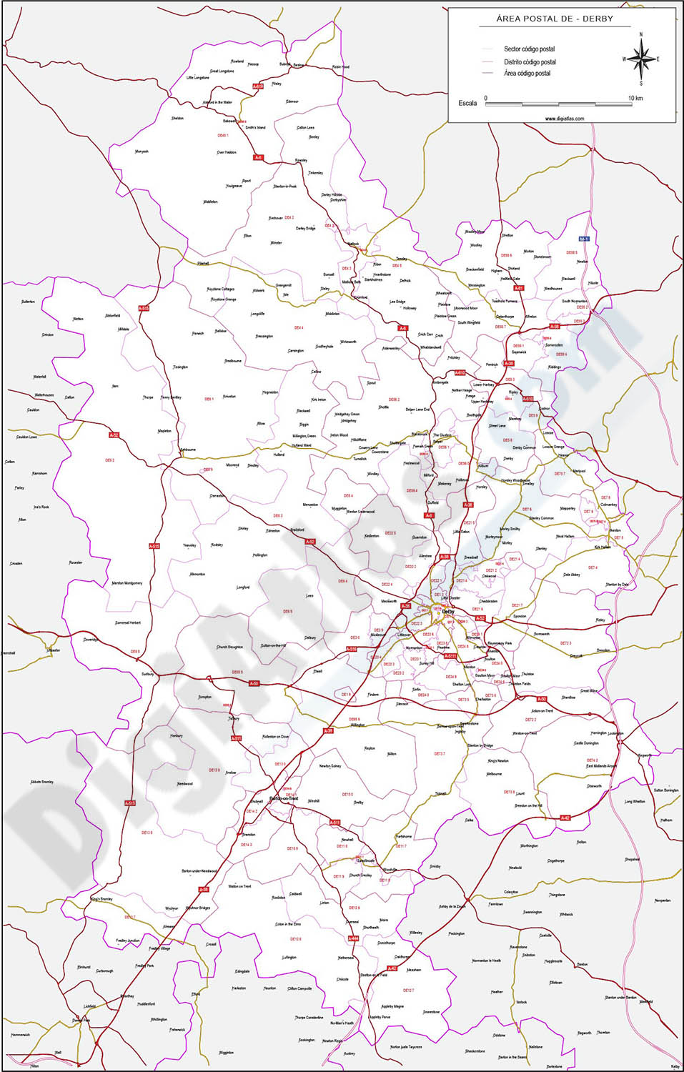
Derby - map of postcode area (DE) with cities and major roads
Vectorized and fully editable map of Coventry postcode area (DE). Map includes cities, major roads, postcode districts and postacode sectors.
Adobe Illustrator, PDF, JPG (300dpi)

55,00 €
Sax - city map
Digital street map of SAX (province of Alacant/Alicante), with the delineation of streets and squares, blocks of houses and green areas, with colours and names.
(...) Read more »
Adobe Illustrator, Acrobat PDF, Microsoft Word