
55,00 €
Belgium map with administrative limits
Map of Belgium showing provinces, arrondissements and municipalities (communes) and their names.
Adobe Illustrator, Acrobat PDF
19,95 €
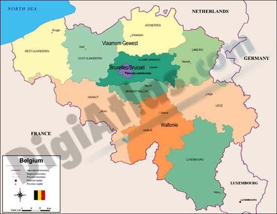
Map of Belgium
Digital political map of Belgium with internal administrative divisions, their names and capitals.
100% editable vectorized file.
Adobe Illustrator, Acrobat PDF