1-
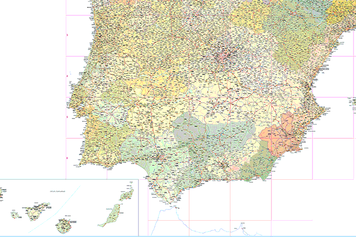
Map of Spain and Portugal DIN A3
-Original measurements: 420x297 mm (A3) (Fully resizable vector file for High-quality printing)
-Download formats: Illustrator, PDF, JPG (300dpi)
Map of Spain and Portugal with major cities and roads. DIN A3 paper size. vector file 100% editable
Request quote to personalize and adapt this map just for your needs »
2-
Map of Spain and Portugal with communities and provinces
-Original measurements: 150x96 cm (Fully resizable vector file for High-quality printing)
-Download formats: Adobe Illustrator, Acrobat PDF.
Political map of Spain and Portugal in digital format, showing the internal administrative division of each country, Spanish Autonomous Communities and provinces, and the continental districts and autonomous regions (Azores and Madeira) of Portugal, all of them with their respective capitals.
Two vector files are downloaded: one in Adobe Illustrator 100% editable, to be able to select and colouring each community, region and province separately, as well as edit colors, texts and styles. Another version in Acrobat PDF ready for press at the desired size always with the highest resolution and quality. Both versions are organized in separate layers, which can be displayed and hidden in order to generate customized versions of the map.
Request quote to personalize and adapt this map just for your needs »
3-
Map of Europe with 2-digit postal codes
-Original measurements: 100x70 cm (Fully resizable vector file for High-quality printing)
-Download formats: Adobe Illustrator, Acrobat PDF
Political map of Europe, in fully editable digital format, with the countries coloured, the regions and provinces with their capitals and the two-digit postcodes. Two files are downloaded in vector format (Adobe Illustrator and Acrobat PDF), both organised in layers to be able to generate personalised versions of the map.
Request quote to personalize and adapt this map just for your needs »
4-
Map of Europe with 2-digit postal codes
-Original measurements: 200x150 cm (Fully resizable vector file for High-quality printing)
-Download formats: imagen TIFF a 300dpi
Digital wallmap of Europe with 2-digit postal codes areas. 300 dpi TIFF image at 200x150 cm size.
Request quote to personalize and adapt this map just for your needs »
5-
Major roads map of Spain and Portugal
-Original measurements: 70x50 cm (Fully resizable vector file for High-quality printing)
-Download formats: Adobe Illustrator, PDF
Vector-file map of major roads in Spain and Portugal. Includes major cities and base relief.
Request quote to personalize and adapt this map just for your needs »
6-
World map with official languages
-Original measurements: 140x94 cm (Fully resizable vector file for High-quality printing)
-Download formats: Adobe Illustrator, PDF
World map with country colors and capital names in English as well as any additional official language(s).
Free PDF World map in poster size for hight quality prints.
Request quote to personalize and adapt this map just for your needs »
7-
Political Poster World Map with Seaports
-Original measurements: 200x135 cm (Fully resizable vector file for High-quality printing)
-Download formats: Adobe Illustrator, PDF
Fully editable vector-file world map. Include political information such as country boundaries and coloured countries, capitals, major river and lakes and major cities, geographical names and more than 700 Sea Ports. Poster size to full quality print. English and Spanish versions are included.
Request quote to personalize and adapt this map just for your needs »
8-
Maps of Central and South american countries with political division
-Original measurements: 59x42 cm (A2) (Fully resizable vector file for High-quality printing)
-Download formats: Adobe Illustrator, PDF
Digital maps of Argentina, Bolivia, Brazil, Chile, Colombia, Ecuador, Guyana, Paraguay, Peru, Surinam, Uruguay, Venezuela, Guatemala, Belize, Honduras, El Salvador, Nicaragua, Costa Rica, Panamá and Mexico, with their administrative division. Vectorized formats 100% editable.
Request quote to personalize and adapt this map just for your needs »
9-
Maps of European countries with political division
-Original measurements: 29,7x21 cm (A4) (Fully resizable vector file for High-quality printing)
-Download formats: Adobe Illustrator, PDF
Vectorized maps of all 28 countries of the Europe Union and the candidates (Albania, Macedonia, Montenegro, Serbia and Turkey), with their administrative division.
Request quote to personalize and adapt this map just for your needs »
10-
15 maps of Spanish provinces with comarcas and municipalities
-Original measurements: 29,7x21 cm (A4) (Fully resizable vector file for High-quality printing)
-Download formats: imagen JPG (250 dpi)
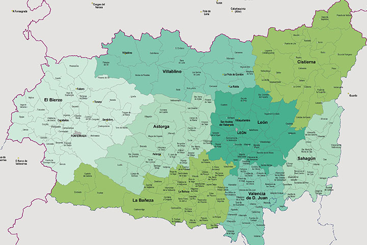
Digital maps of 15 provinces of Spain with comarcas and municipalty borders and city names. (Cáceres, Badajoz, Albacete, Ciudad Real, Toledo, Alicante, Castellón, Valencia, Murcia, Burgos, León, Salamanca, Valladolid, Canarias and Baleares islands)
Request quote to personalize and adapt this map just for your needs »
11-
Map of A Coruña (Corunna)
-Original measurements: 78x75x cm (Fully resizable vector file for High-quality printing)
-Download formats: Adobe Illustrator, Acrobat PDF
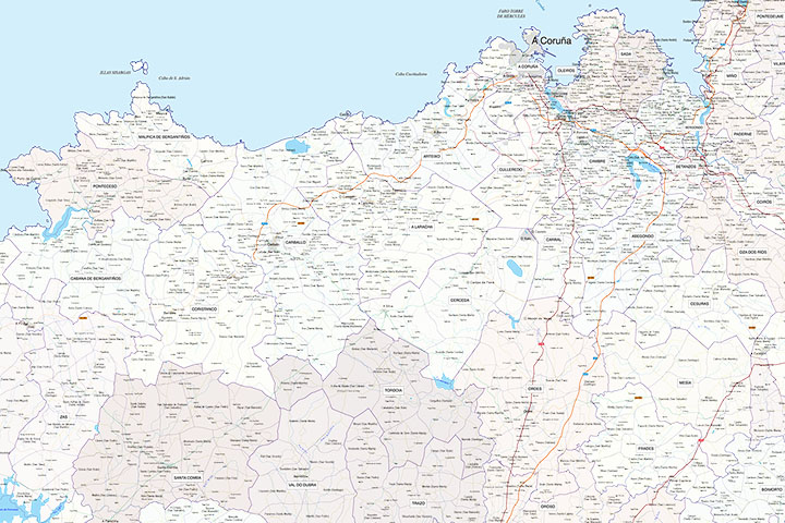
Digital map of the province of A Coruña (Galicia) at a scale of 1:200.000 with the autonomous, provincial and municipal limits (Concellos), capitals, cities and population centres organised according to the number of inhabitants, motorway network, highways, national and autonomous roads of first and second order, local roads, railway network and AVE, rivers and main lakes. 100% editable vector map organised in separate layers with detailed geographical and political information. High resolution poster size for large format printing.
Request quote to personalize and adapt this map just for your needs »
12-
A Coruña (Corunna) - Map of province with parroquias and aldeas
-Original measurements: 82x88 cm (Fully resizable vector file for High-quality printing)
-Download formats: Adobe Illustrator, PDF
Map of A Coruña province (Galicia, Spain) showing Autonomous Communities, provinces, concellos and parroquias boundaries. Include cities, 'aldeas', highways, major and minor roads, railroad, principal rivers and lakes and other relevant political information. Scale 1:200.000.
Request quote to personalize and adapt this map just for your needs »
13-
Map of A Coruna province with municipalities and postal codes
-Original measurements: 59x42 cm (A2) (Fully resizable vector file for High-quality printing)
-Download formats: Adobe Illustrator, PDF, JPG(300 dpi)
Map of A Coruna province (autonomous community of Galicia, Spain) showing municipalities borders and 5-digit postal code areas.
Request quote to personalize and adapt this map just for your needs »
14-
Aguilas (Murcia) - city map
-Original measurements: 69x50 cm (Fully resizable vector file for High-quality printing)
-Download formats: Adobe Illustrator, PDF
Vector-file map of Aguilas city (Region de Murcia, Spain). Political and touristic map of Aguilas with all map features organized in separate layers.
Request quote to personalize and adapt this map just for your needs »
15-
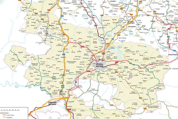
Alava (Araba) - Map of the province
-Original measurements: 50x50 cm (Fully resizable vector file for High-quality printing)
-Download formats: Adobe Illustrator, PDF
Vector format spain province map showing community and province boundaries, cities, highways, major and minor roads, railroad, principal rivers and lakes and other relevant political information. Scale 1:200.000.
Request quote to personalize and adapt this map just for your needs »