
PACK DIGIATLAS
Download up to 15 digital maps of your choice through a subscription to the 'Pack DigiAtlas'.

-Description:
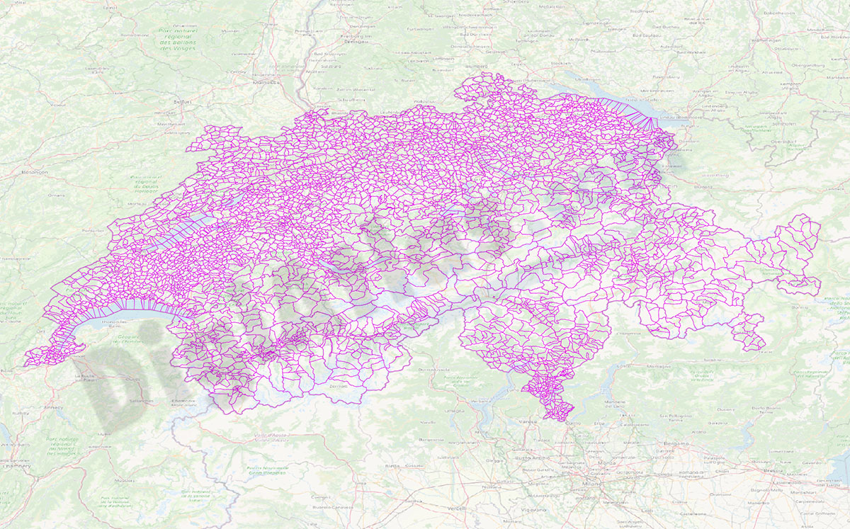
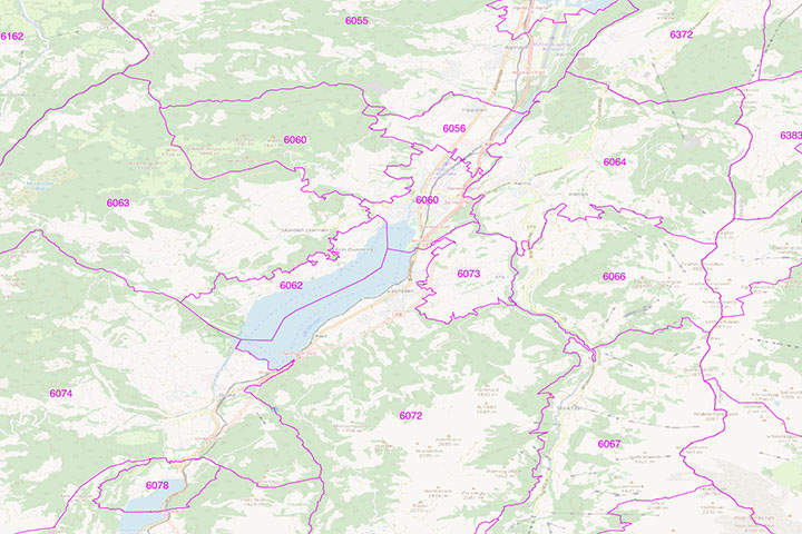
-Number of inhabitants of each postcode in Switzerland
Digital mapping of the 4-digit postcodes of Switzerland in geo-referenced Shapefile format.
The database includes the 4-digit postcode, Commune (municipality), Canton, District, number of inhabitants, Total males, Total females and five-year age groups by gender.
-Original measurements:
(Fully resizable vector file for High-quality printing).
-Download formats:
Shapefile (.shp)
-You can also request a quote » to modify this map and adapt it to your projects.
Download up to 15 digital maps of your choice through a subscription to the 'Pack DigiAtlas'.

Postcode maps of cities, regions and countries. Optionally with demographic data for geo-marketing projects.

City street maps with delineation of urban areas, streets, squares, parks, green areas, buildings of interest, etc.
DigiAtlas select every week until three random maps from their catalog and intends to offer them at a very lower price than its regular cost.
These maps change every 7 days. If either of them matches your interest take advantage of this opportunity to acquire digital maps to a very special price.