
98,00 €
America centered physical-political Worldmap with Seaports
Fully editable vector-file world map America centered. Include country boundaries and colors, capitals, major river and lakes and major cities, geographical names. Also include 700 major Seaports.
Adobe Illustrator, Acrobat PDF

79,00 €
America physical vectorized-relief map
Fully editable vector file map of all american continent. Shows colored altimetry and bathymetry, international boundaries, major lakes, country capitals and relevant geographic names. High-resolution
(...) Read more »
Adobe Illustrator, Acrobat PDF

79,00 €
America political and geographical map
Fully editable vector file. Layers: colour and name of countries, international boundaries, major lakes, country capitals and relevant geographic names. High-resolution TIFF relief-image is included.
Adobe Illustrator, PDF + TIFF, JPG (300dpi)

78,65 €
Andalucia - map of comarcas
Digital map of Andalusia (Andalucia autonomous community, Spain) with the comarcas and municipalities in 100% editable vector format.
(...) Read more »
Adobe Illustrator, Acrobat PDF

151,25 €
Andalucia Poster Map
Detailed map of all Andalusia autonomous community of Spain at a scale of 1:300.000, with municipal, provincial and autonomous boundaries, rivers and lakes, road network up to local road level, railwa
(...) Read more »
Adobe Illustrator, Acrobat PDF

65,00 €
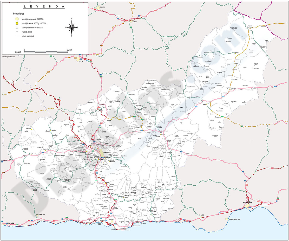
Andalucia provinces with municipalities
Digital maps of the 8 Andalusian provinces
(...) Read more »
Adobe Illustrator, Acrobat PDF

98,00 €
Asia physical vectorized-relief map
Digital map of Asia.
(...) Read more »
Adobe Illustrator, Acrobat PDF, TIFF image

98,00 €
Asia political and geographical map
Digital political and geographical map of Asia.
(...) Read more »
Adobe Illustrator, Acrobat PDF, TIFF image

59,99 €
Balearic Islands with municipalities
Digital map of the Balearic Islands (Illes balears) with the limits of the municipalities and their capitals.
(...) Read more »
Adobe Illustrator, Acrobat PDF

59,99 €
Barcelona - Map of province
Digital map of the province of Barcelona (Catalonia) at a scale of 1:300.000 with detailed geographical and political information. It includes the autonomous, provincial and municipal limits, c
(...) Read more »
Adobe Illustrator, Acrobat PDF

55,00 €
Barcelona zipcodes map
Digital map of the postal districts 08009,08010,08013 and 0802 of Barcelona.
(...) Read more »
Adobe Illustrator, Acrobat PDF

55,00 €
Belgium map with administrative limits
Map of Belgium showing provinces, arrondissements and municipalities (communes) and their names.
Adobe Illustrator, Acrobat PDF

75,00 €
Benidorm-Altea zone map
Digital map covering from Benidorm to Altea with details of urbanisations, towns, villages and roads.
This map is downloaded in vector format, which means that it can be fully edited and modified to suit the requirements of any type of project. To do this, vector design applications must be used, such as Adobe Illustrator, very common in the world of graphic design, although Acrobat PDF can also be used, which is installed by default on any computer and also allows you to operate with the vector layers offered by the map.
The vector format of the files allows, among other things, to cut out and enlarge certain areas of the map to create working copies, print them at high quality, hide and/or visualise different layers of information to generate personalised versions, modify colours and styles to adapt them to the needs of each project, add more layers of information, insert logos, etc.
See less «
Adobe Illustrator, Acrobat PDF