
Ask price
Map of Africa Poster
Poster-size digital map of AFRICA with detailed political and geographical information.
Adobe Illustrator, Acrobat PDF
Ask price
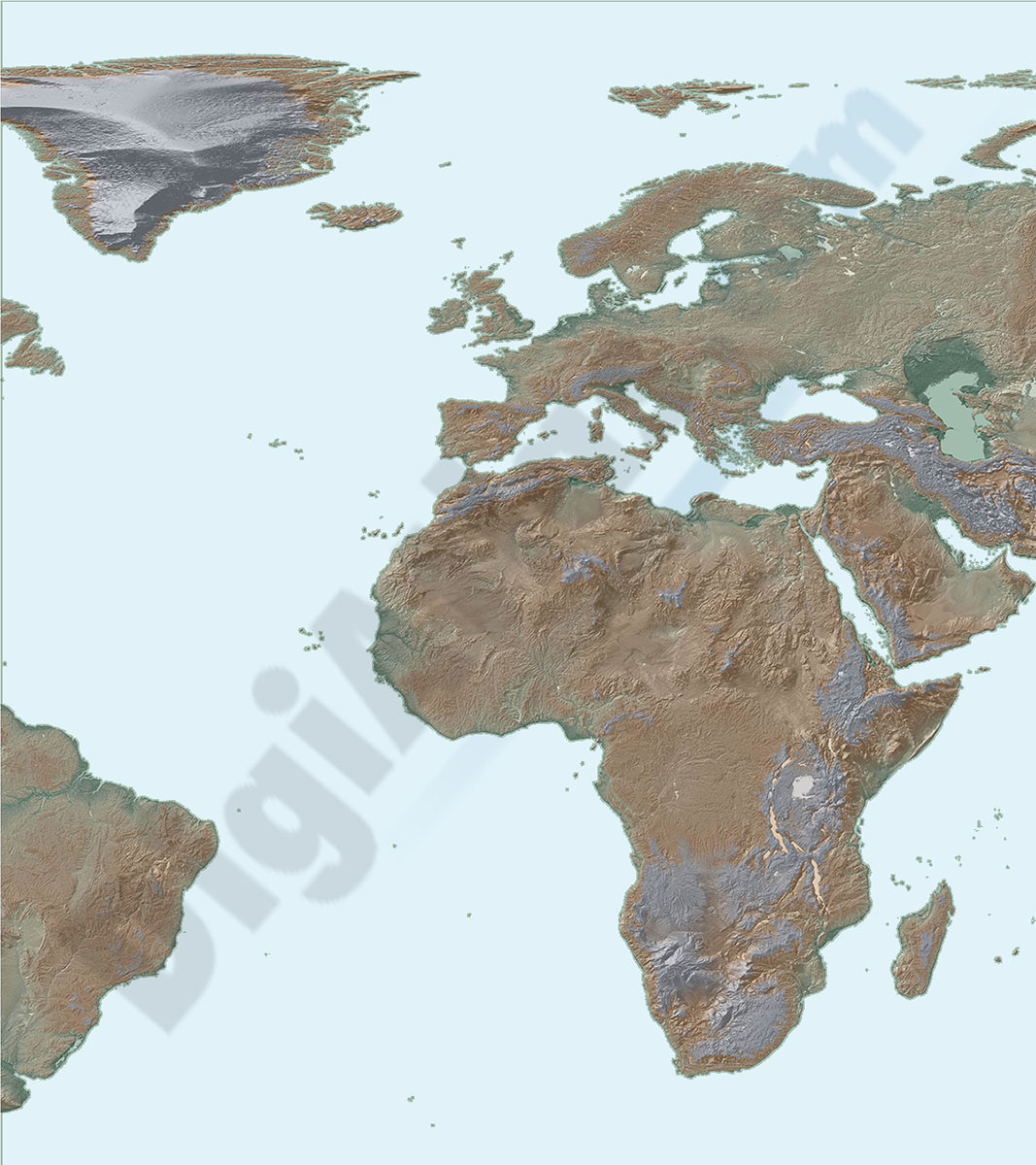
Map of Africa and Europe
Map of AFRICA and Europe with a TIFF-image relief and vectorized bathimetry
imagen TIFF

79,00 €
Africa physical vectorized-relief map
Physical map of AFRICA.
Digital map of the AFRICAn continent with the altimetry and bathymetry strips coloured and separated into fully editable layers. Includes geographical names, country boundaries, capitals, cities and major towns.
Poster-size map of AFRICA.
See less «
Adobe Illustrator, Acrobat PDF

79,00 €
Africa political and geographical map
Fully editable vectorized file map of AFRICA with coloured countries, international boundaries, major lakes, important cities and capitals and relevant geographic features. Poster size map in high-res
(...) Read more »
Adobe Illustrator, PDF + TIFF, JPG (300dpi)

19,95 €
Map of Central African Republic
Fully editable vector file. Include political layers of inner administrative division, with their names and capitals.
Adobe Illustrator, PDF
19,95 €
Map of Sao Tome&Principe
Fully editable vector file map of São Tomé and Príncipe showing political layers of inner administrative division, with their names and capitals.
Adobe Illustrator, PDF

19,95 €
Map of South Africa
Fully editable vector file map of South AFRICA with political layers of inner administrative division, with their names and capitals.
Adobe Illustrator, PDF