
55,00 €
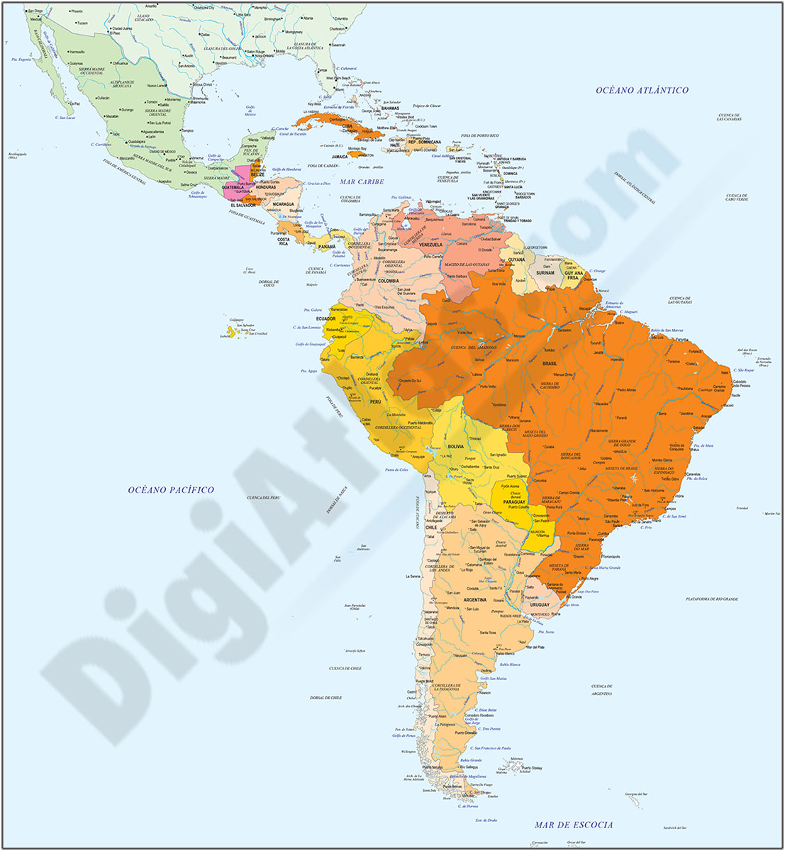
Maps of Central and South american countries with political division
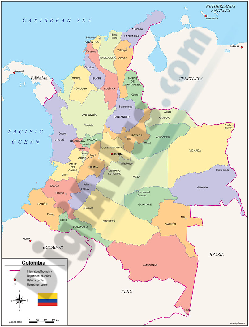
Digital maps of Argentina, Bolivia, Brazil, Chile, Colombia, Ecuador, Guyana, Paraguay, Peru, Surinam, Uruguay, Venezuela, Guatemala, Belize, Honduras, El Salvador, Nicaragua, Costa Rica, Panamá and
(...) Read more »
Adobe Illustrator, Acrobat PDF

98,00 €
America centered physical-political Worldmap with Seaports
Fully editable vector-file world map AMERICA centered. Include country boundaries and colors, capitals, major river and lakes and major cities, geographical names. Also include 700 major Seaports.
Adobe Illustrator, Acrobat PDF

79,00 €
America physical vectorized-relief map
Fully editable vector file map of all AMERICAn continent. Shows colored altimetry and bathymetry, international boundaries, major lakes, country capitals and relevant geographic names. High-resolution
(...) Read more »
Adobe Illustrator, Acrobat PDF

79,00 €
America political and geographical map
Fully editable vector file. Layers: colour and name of countries, international boundaries, major lakes, country capitals and relevant geographic names. High-resolution TIFF relief-image is included.
Adobe Illustrator, PDF + TIFF, JPG (300dpi)

79,00 €
Central America political map
Digital file of Central AMERICA (Central AMERICA or América del centro) with the delimitation of the countries and other layers with geographical and political information (relief, rivers, lakes, cap
(...) Read more »
Adobe Illustrator, Acrobat PDF, image TIFF

19,95 €
Map of Costa Rica
Digital political map of the Republic of Costa Rica.
The map of Costa Rica shows the territorial division with its 7 provinces, their names and capitals.
(...) Read more »
Adobe Illustrator, Acrobat PDF

19,95 €
Map of United States of America
Fully editable vectorized map of United States of AMERICA (USA). Map shows inner administrative division, with their names and capitals. Digital map are organized into separate layers, in order to cre
(...) Read more »
Adobe Illustrator, PDF

79,00 €
North America physical vectorized-relief map
Digital map of North AMERICA. Editable vector file with the altimetry and bathymetry bands coloured and separated into layers. Includes geographic names and important towns.
Adobe Illustrator, Acrobat PDF

79,00 €
North America political and geographical map
Digital physical and political map of North AMERICA (Canada, USA and Mexico). The map is organised in separate layers with political and geographical information (borders, countries, rivers, lakes, ca
(...) Read more »
Adobe Illustrator, Acrobat PDF + TIFF

89,00 €
Physical and political map of South America
DIGITAL MAP OF SOUTH AMERICA
This is the mapping of the South AMERICAn continent in 100% editable vector format that includes the political, physical and geographic versions of all of South and Central AMERICA in one single file.
It is downloaded in Adobe Illustrator and Acrobat PDF format and shows the altimetry and bathymetry strips vectorised, coloured and separated into layers, which allows the colours of each altitude strip to be modified and customised.
In addition, a shaded and coloured relief TIFF image is also included, which can be placed underneath the semi-transparent political layers, to give the final drawing a beautiful and professional finish.
The digital file is organised in multiple layers, which can be displayed and/or hidden to create different versions of the map of South AMERICA; physical, political, relief, geographical, etc.
See less «
Adobe Illustrator, Acrobat PDF
79,00 €
South and Central America and Mexico
Digital map of South AMERICA and Mexico with political and geographic information.
(...) Read more »
Adobe Illustrator, Acrobat PDF