19,95 €
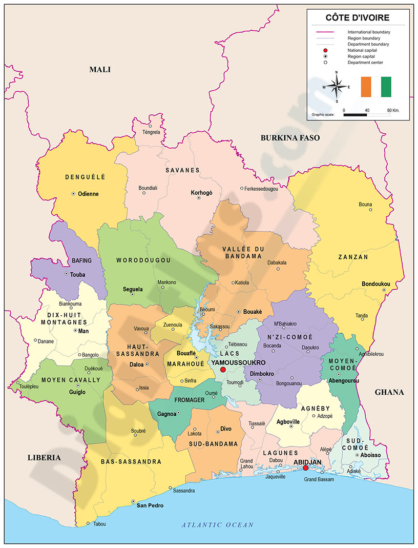
Map of Ivory Coast
Political map of Côte d'Ivoire with internal administrative division, districts and regions, their names and capitals.
(...) Read more »
Adobe Illustrator, Acrobat PDF
90,00 €
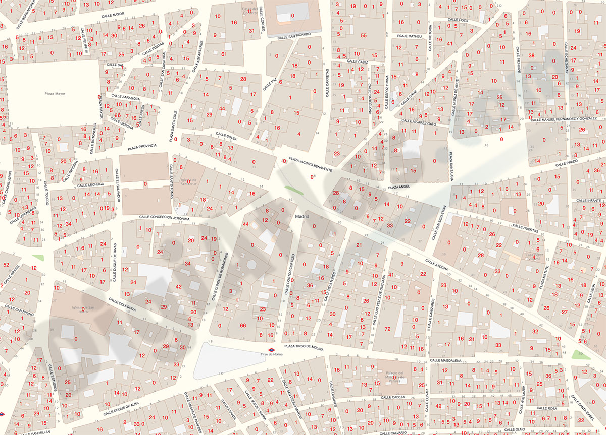
Madrid - Number of dwellings
Digital cartography of the urban area of the Community of Madrid, Spain with the Number of buildings and dwellings in each cadastral parcel.
Shapefile
71,39 €
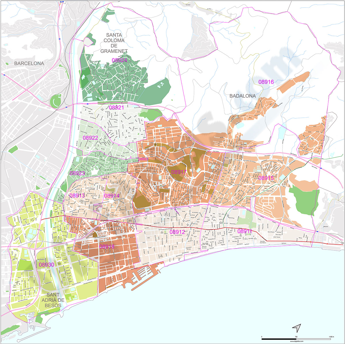
Badalona, Santa Coloma de Gramanet and Sant Adrià del Besòs with postal codes
Map of the Badalona, Santa Coloma de Gramanet and Sant Adrià del Besòs with 5-digit coloured postal code areas in vectorized PDF format. Also shows urban blocks of buildings, parks, green zones, str
(...) Read more »
Acrobat PDF
59,00 €
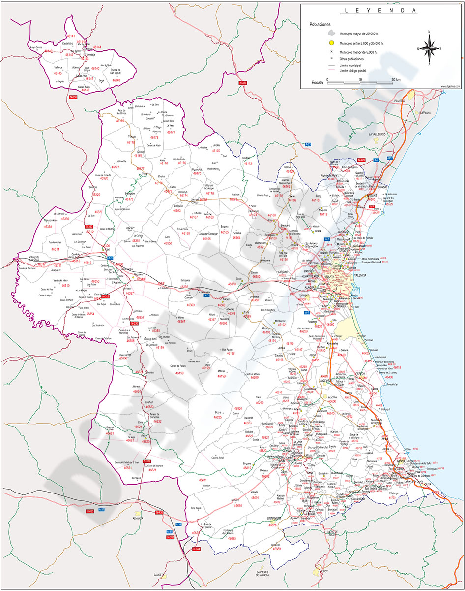
Map of Valencia with municipalities, major roads and postal codes
Map of province of Valencia (Valencian Community, Spain) showing municipal boundaries, cities and towns, 5-digit postal code areas and major roads. Fully editable vectorized file organized on separate layers.
See less «
Adobe Illustrator, PDF
Ask price
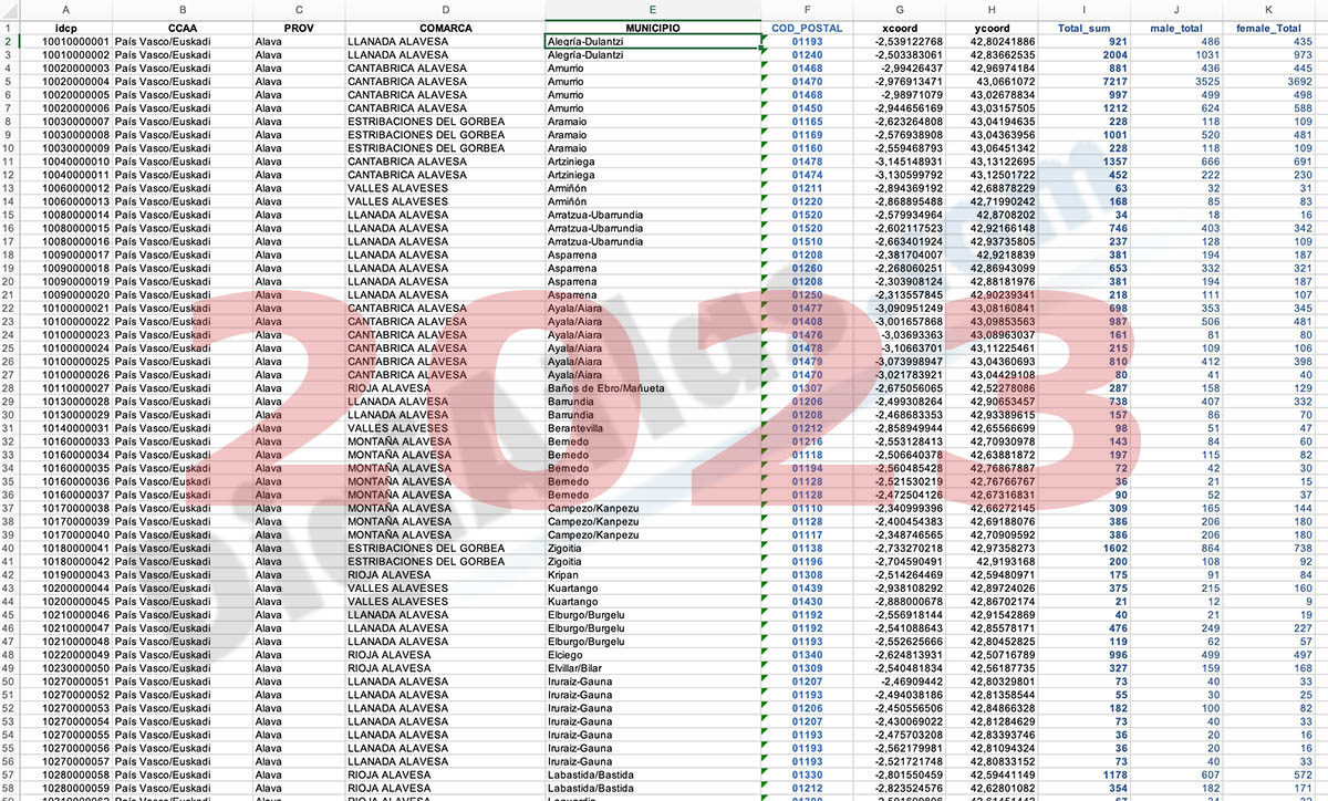
Population for every postcode in Spain
-NUMBER OF INHABITANTS FOR EACH POSTCODE IN SPAIN.
(...) Read more »
Shapefile (.shp), KML, Excel
55,00 €
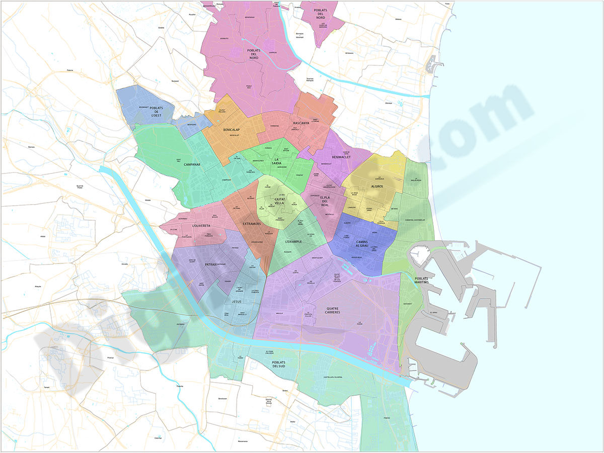
Valencia - districts and neighborhoods
Street map of the urban area of Valencia city.
(...) Read more »
Adobe Illustrator, Acrobat PDF
89,95 €
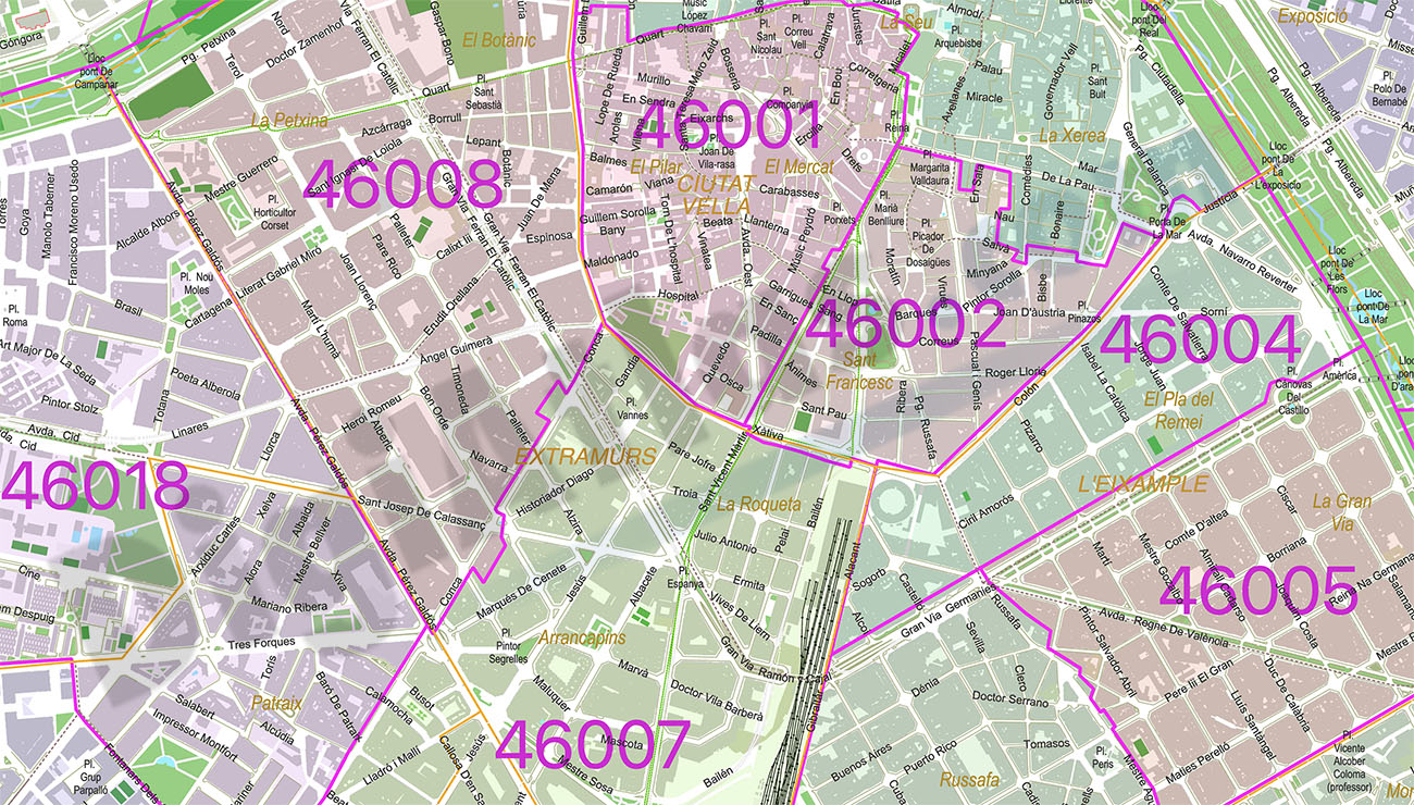
Valencia City map with postcode districts
Digital street map of the city of Valencia, with the delineation of streets and squares, blocks of houses, parks, green areas, zip codes, districts, neighborhoods and the names of streets and squares.
(...) Read more »
Adobe Illustrator, Acrobat PDF
59,00 €
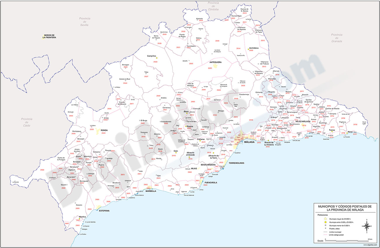
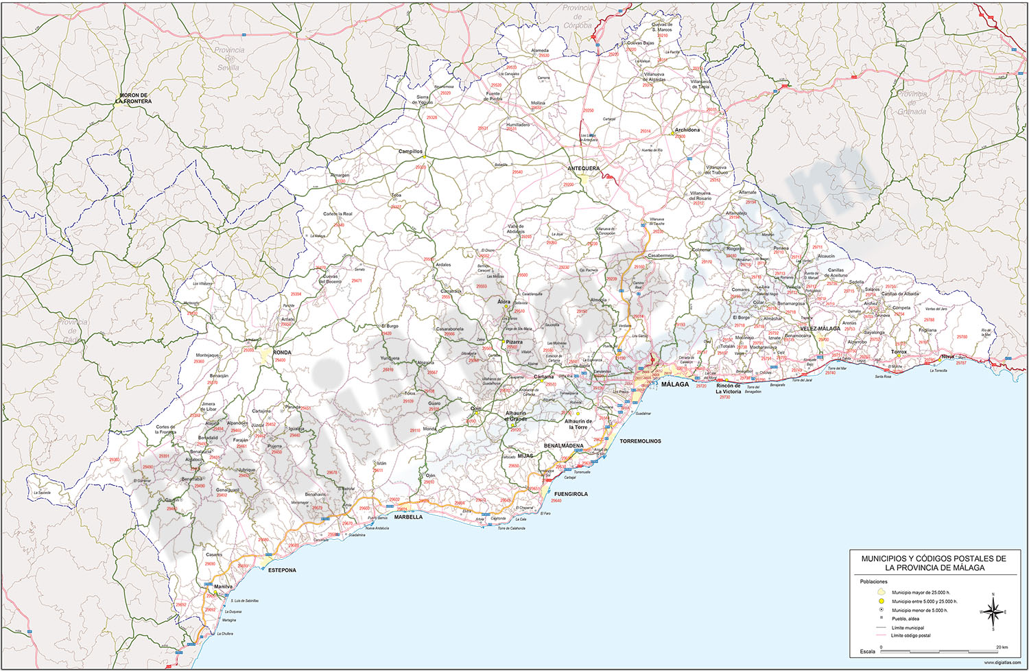
Map of Malaga province with municipalities and postal codes
Digital map of the province of Malaga (Andalusia, Spain) with zip codes, municipal boundaries, capitals and towns grouped according to their number of inhabitants.
(...) Read more »
Adobe Illustrator, Acrobat PDF
95,00 €
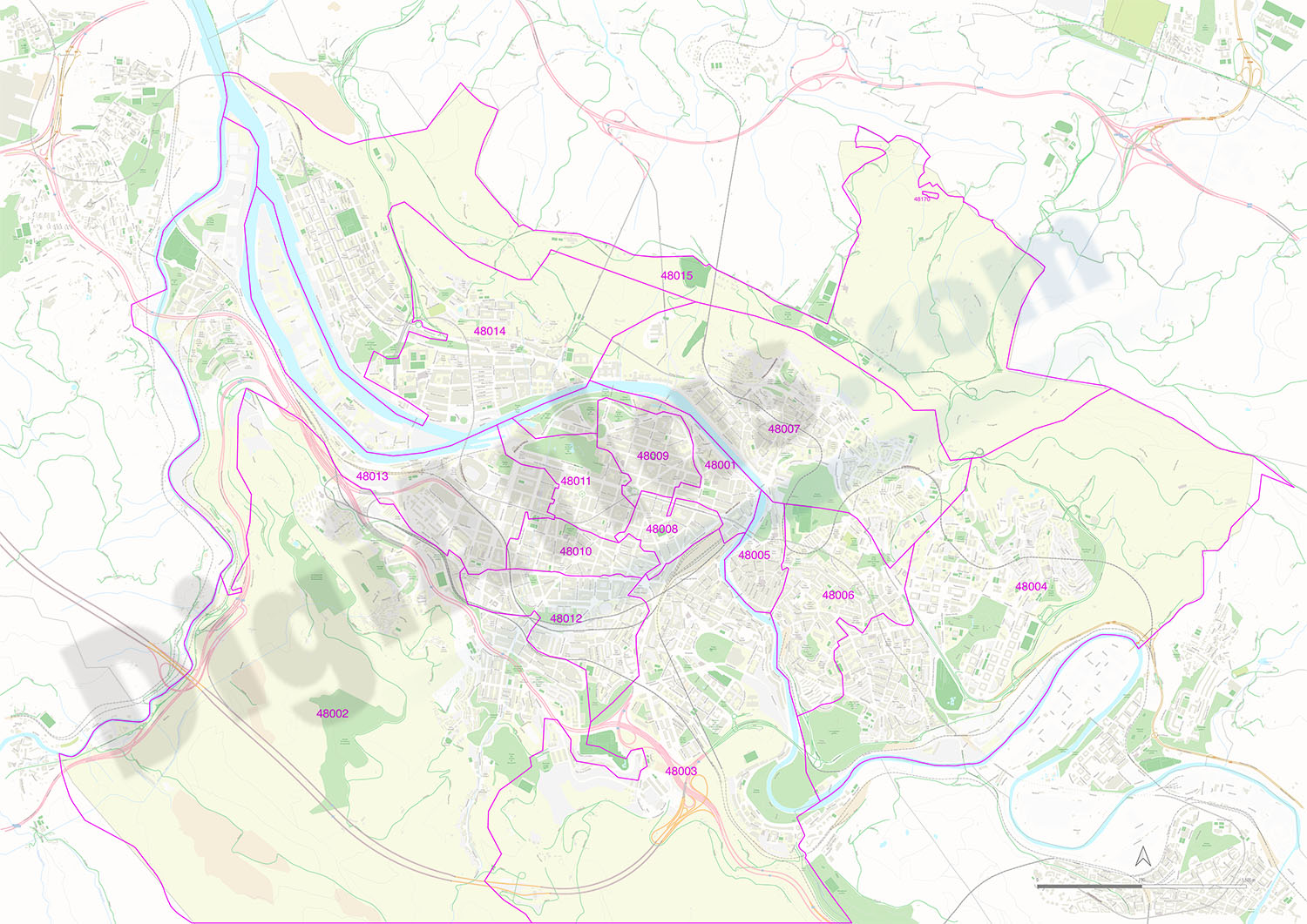
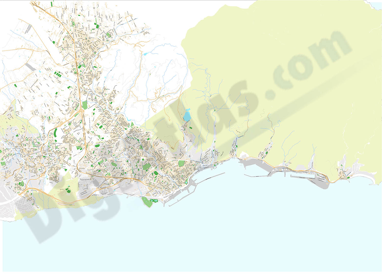
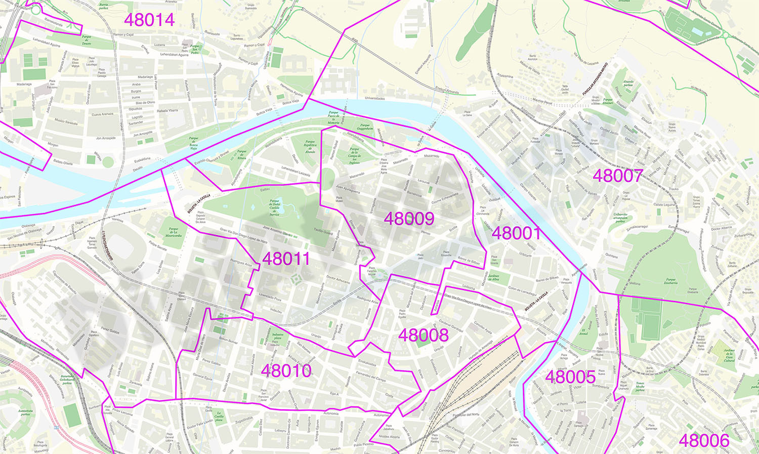
Bilbao - city map with postal codes
Digital street map of the city of Bilbo/Bilbao (Euskadi) with the delineation of blocks of houses, singular buildings, hydrographic network, parks, green areas, railroads, urban roads, postal codes an
(...) Read more »
Adobe Illustrator, Acrobat PDF
55,00 €
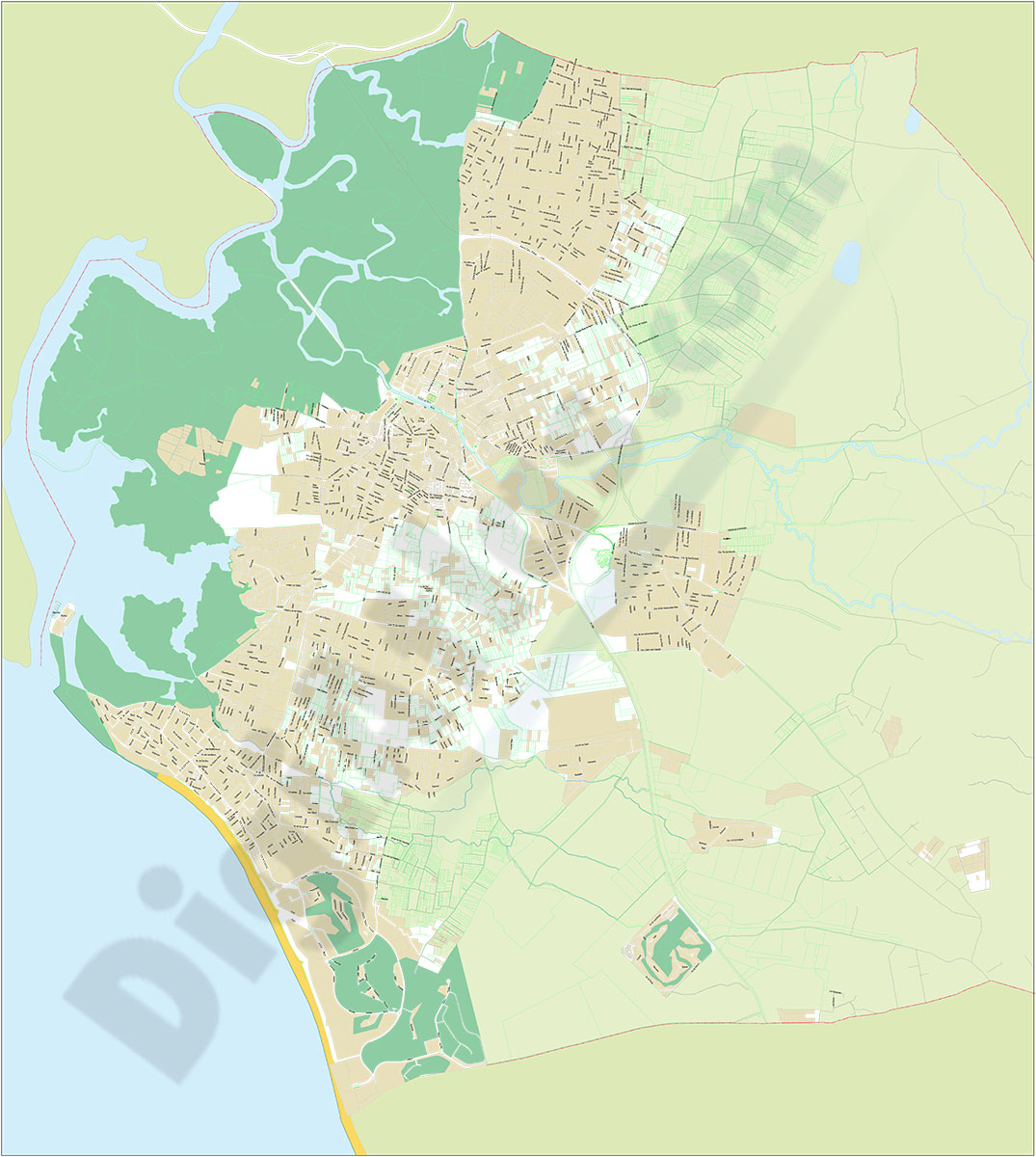
Chiclana de la Frontera - city map
Vector file map of Chiclana de la Frontera (province of Cadiz, Andalucia, Spain). All features are in separated layers.
Adobe Illustrator, Acrobat PDF
19,95 €
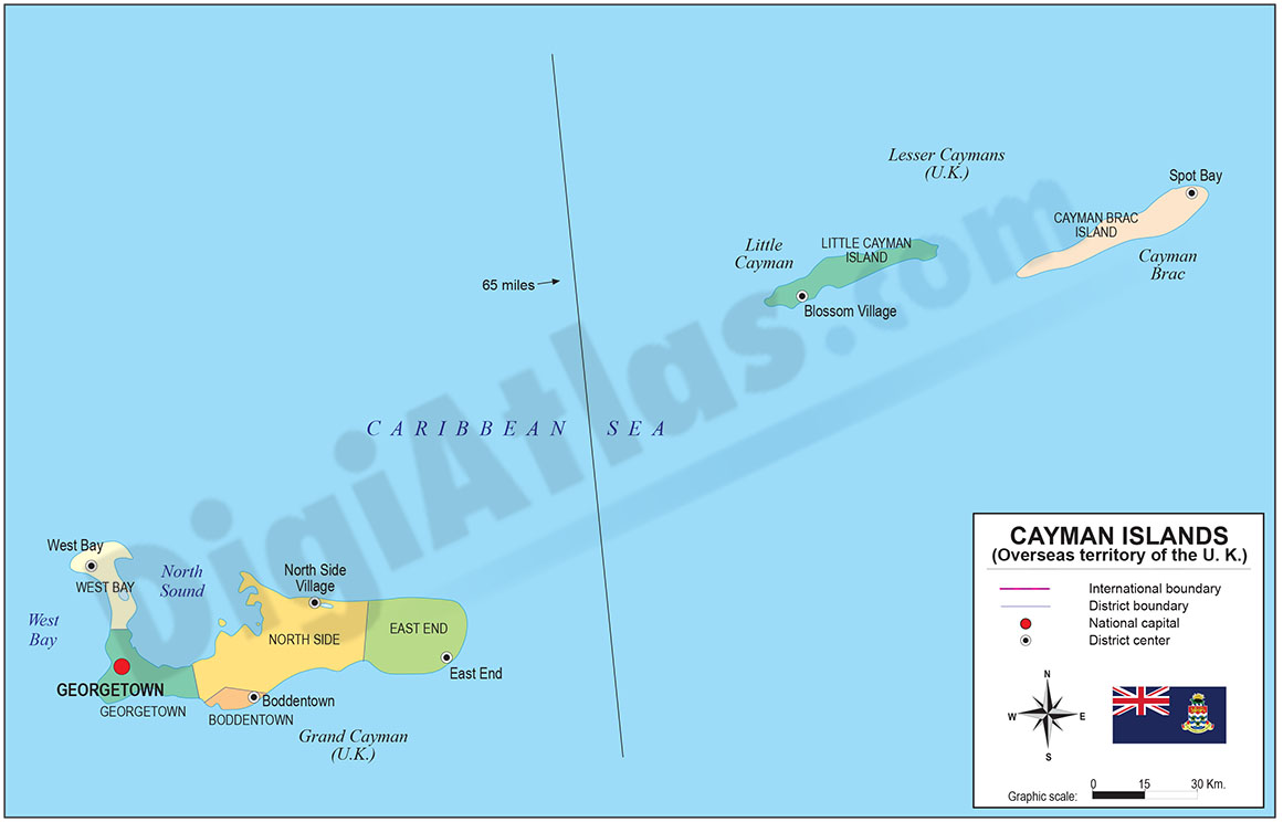
Map of Cayman Islands
Digital political map of Cayman Islands with internal administrative division, districts, names and capitals.
100% editable vector map organized in separate layers.
Adobe Illustrator, Acrobat PDF
151,25 €
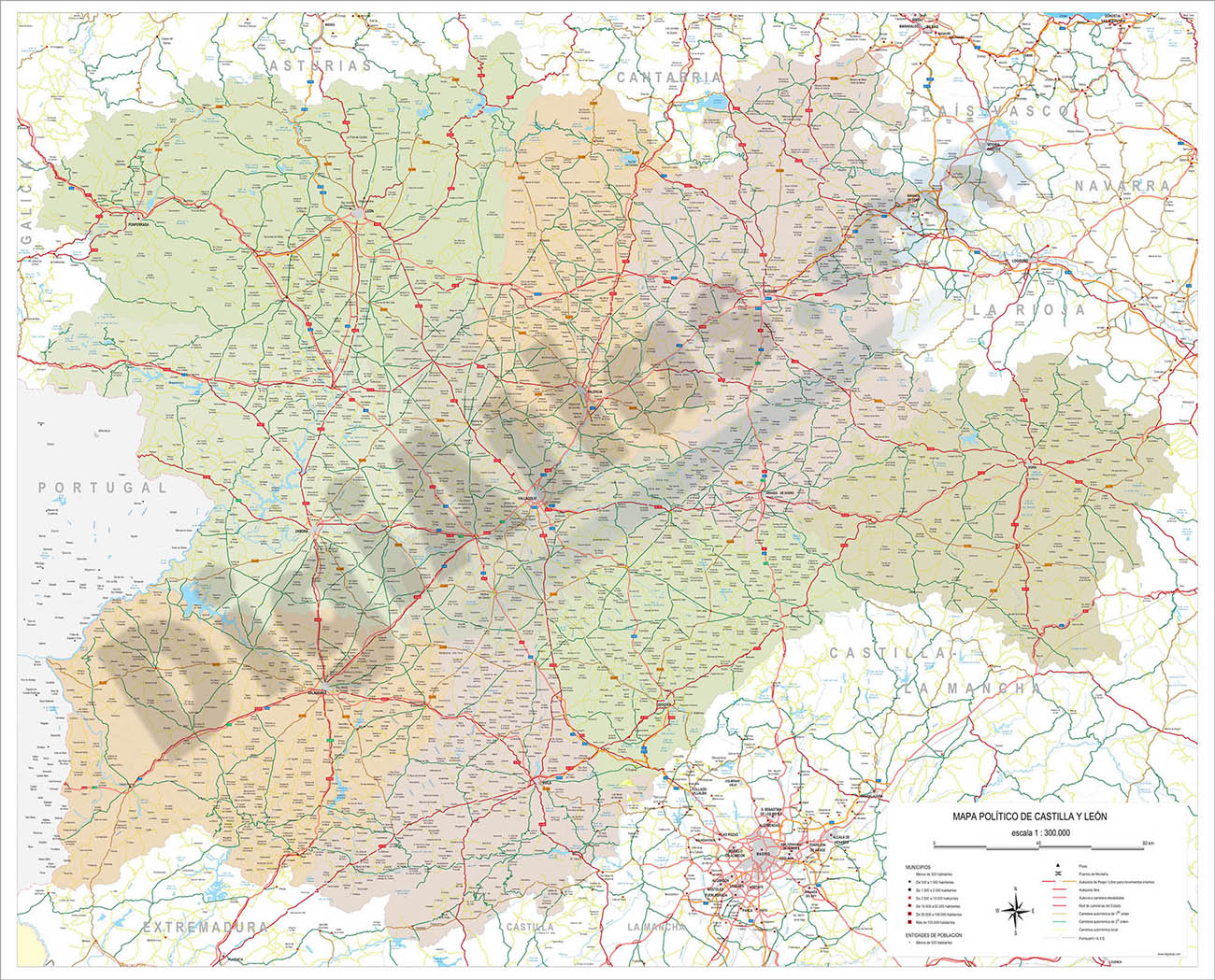
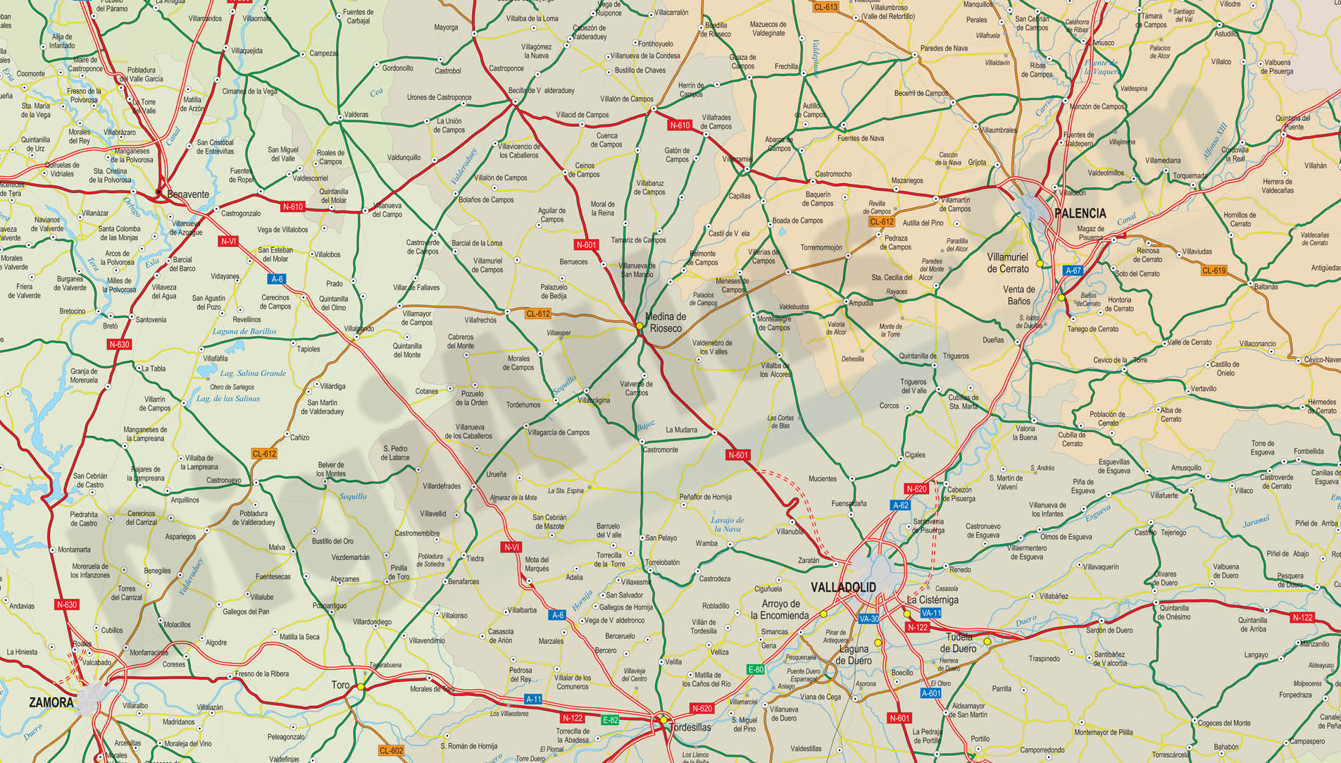
Map of Castilla y Leon autonomous community
Detailed digital map of Castile and León (Castilla y León autonomous community in north-western Spain). Map shows province borders, roads, rivers and lakes, cities, towns and relevant geographical i
(...) Read more »
Adobe Illustrator, PDF, JPG (300dpi)
Ask price
Spain - maps of postal codes by comarca
Postal codes by county, province and municipality.
Maps of the 50 Spanish provinces with municipal boundaries, zip codes areas and comarcas colored.
Imagen JPG
Ask price
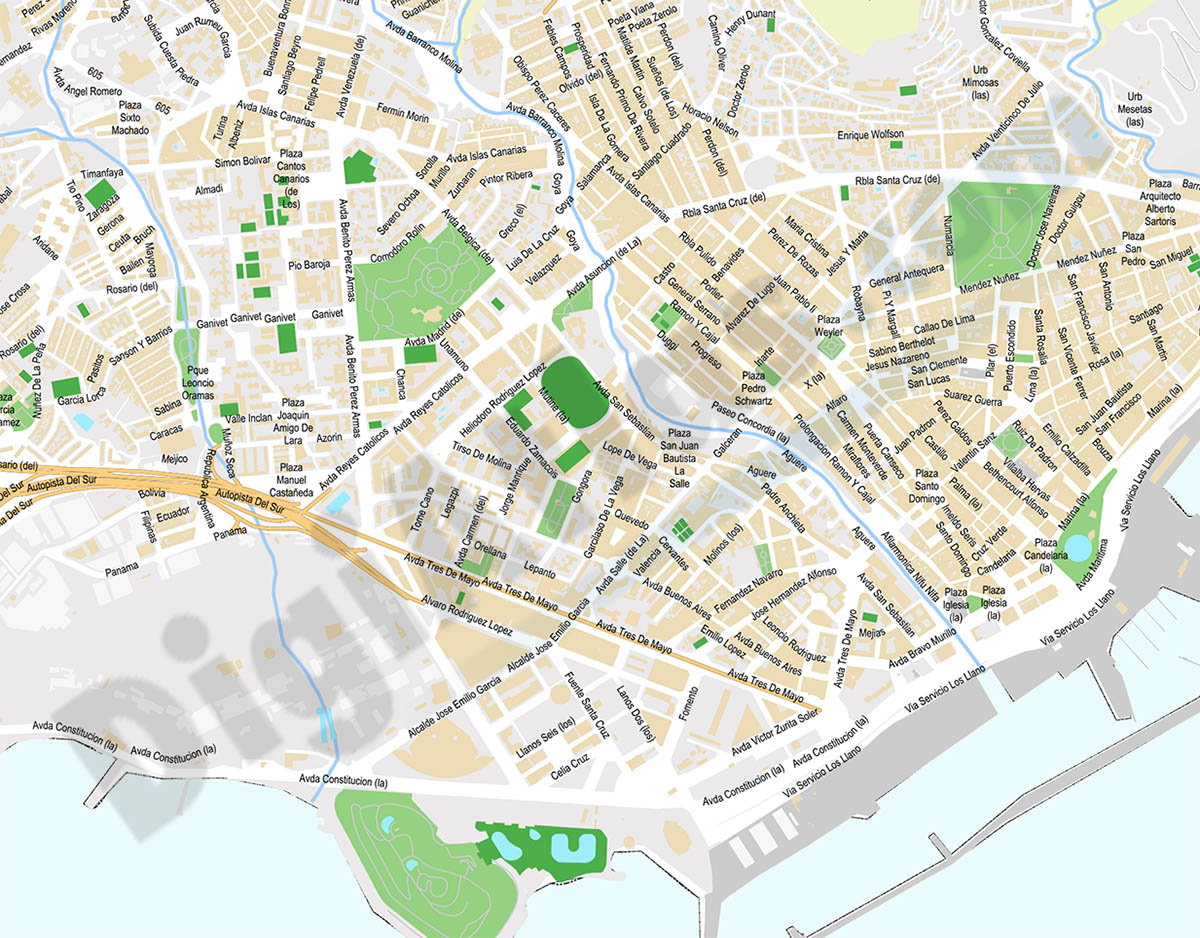
Santa Cruz de Tenerife - city map
Digital map of Santa Cruz de Tenerife city (northern part of Tenerife island, Canary Islands, Spain) showing urban area, streets and squares delineation, blocks of buildings, parks, green areas and ur
(...) Read more »
Adobe Illustrator, PDF

45,00 €
Santa Cruz de Tenerife- Population by postal code
Population data by postcode for the province of Santa Cruz de Tenerife (Canary Islands).
(...) Read more »
Excel

