79,00 €
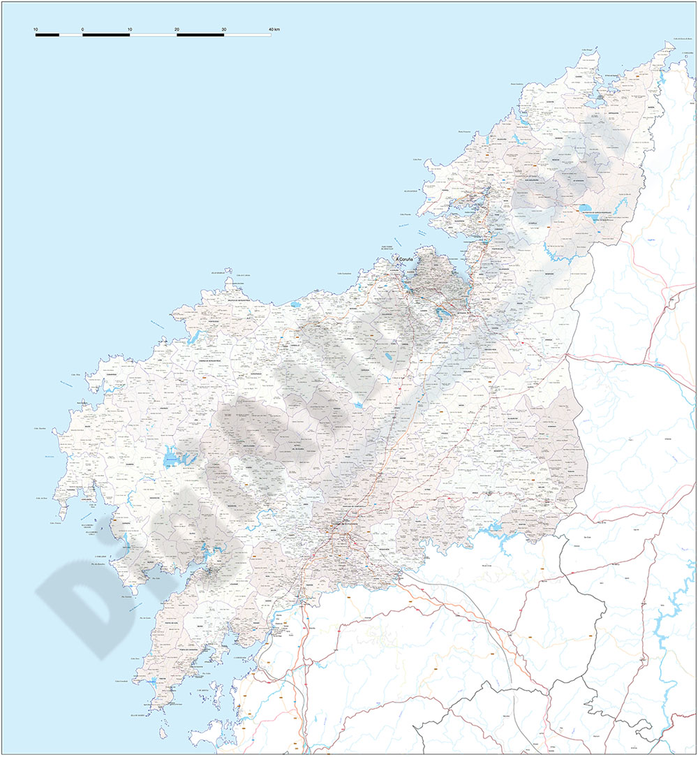
A Coruña (Corunna) - Map of province with parroquias and aldeas
Map of A CORUñA province (Galicia, Spain) showing Autonomous Communities, provinces, concellos and parroquias boundaries. Include cities, 'aldeas', highways, major and minor roads, railroad, principal rivers and lakes and other relevant political information. Scale 1:200.000.
See less «
Adobe Illustrator, PDF

59,99 €
Map of A Coruña (Corunna)
Digital map of the province of A CORUñA (Galicia) at a scale of 1:200.000 with the autonomous, provincial and municipal limits (Concellos), capitals, cities and population centres organised ac
(...) Read more »
Adobe Illustrator, Acrobat PDF