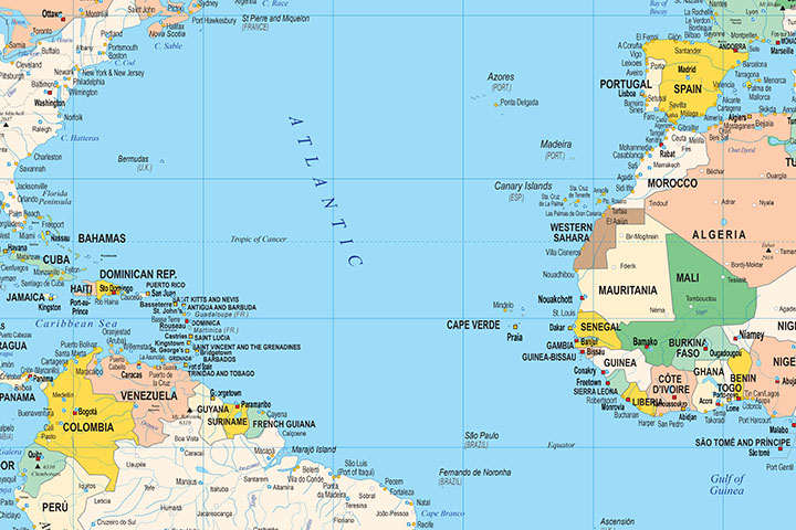
16- Political Poster World Map with Seaports
Fully editable vector-file world map. Include political information such as country boundaries and coloured countries, capitals, major river and lakes and major cities, geographical names and more than 700 Sea Ports. Poster size to full quality... Read more
Adobe Illustrator, PDF
17- Poster Worldmap with Sea Ports and Airports
Digital world map with political information. It shows the coloured countries, capitals, main rivers and lakes, important towns, geographical names, seaports and important airports of each country.
It includes a vector file in Adobe Illustrator... Read more
Adobe Illustrator, Acrobat PDF
18- Robinson projected Worldmap centered in Bahrain
Worldmap in Robinson projection centered in Bahrain. Include physical information (colors of topography and bathimetry), country boundaries, capitals, major river and lakes and major cities. Vector format for High Quality Print resolution
Acrobat PDF


