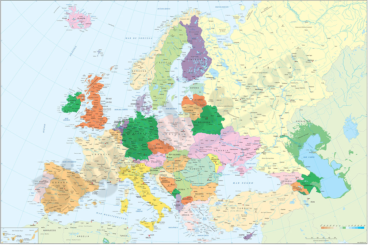
1- Europe political and geographical map
Digital physical and geographical map of Europe.
Digital cartography of the entire European continent with relevant physical and political information. Includes country borders, capitals, major rivers and lakes, important cities and geographical... Read more
Adobe Illustrator, Acrobat PDF + TIFF
2- Map of Austria
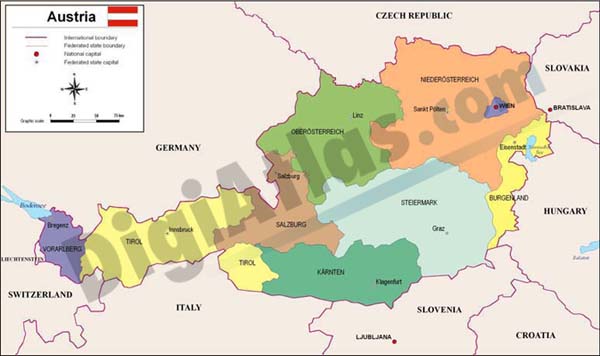
Political map of AUSTRIA, in digital format, with internal administrative divisions, their names and capitals.
100% editable vectorized files.
Adobe Illustrator, Acrobat PDF
3- Map of Austria with regions and Postal Codes

Vectorized map of AUSTRIA, with regions and 2-digits postcode areas.
Adobe Illustrator, Acrobat PDF
4- Map of Germany, austria and Switzerland with regions and Postal Codes

Vectorized and fully editable Map of Germany, AUSTRIA and Switzerland with regions, capitals and 2-digit postal codes.
Adobe Illustrator, PDF, JPG (300dpi)