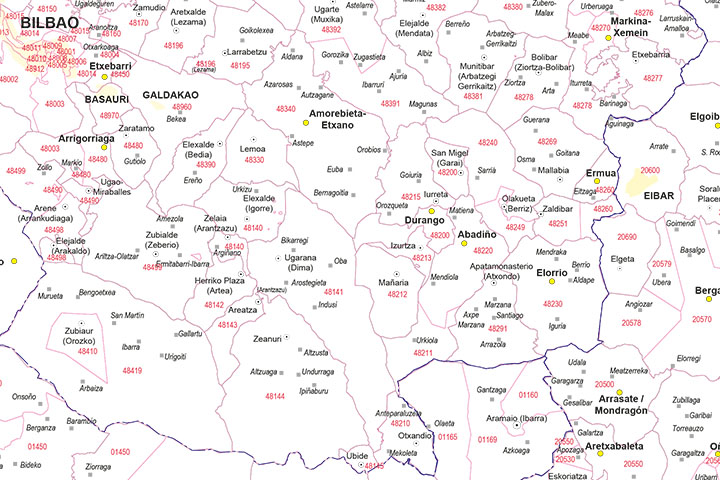
2- Euskadi - map of postal codes
EUSKADI POSTAL CODES
Digital map of Euskadi (Basque Country) with the municipalities, capitals, cities and towns grouped in separate layers according to their number of inhabitants and 5-digit postcode areas.
Vector map editable in Adobe... Read more
Adobe Illustrator, Acrobat PDF
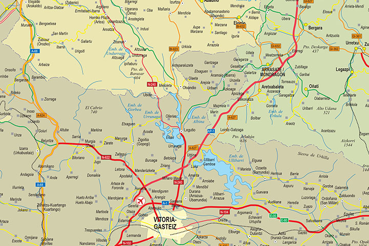
3- Euskadi map
Detailed autonomous map of the Basque Country, Euskadi, at a scale of 1:300.000, with the limits of the provinces, road network, rivers and lakes, cities and towns, geographical names. 100% editable vector file organised in layers to be able to... Read more
Adobe Illustrator, Acrobat PDF
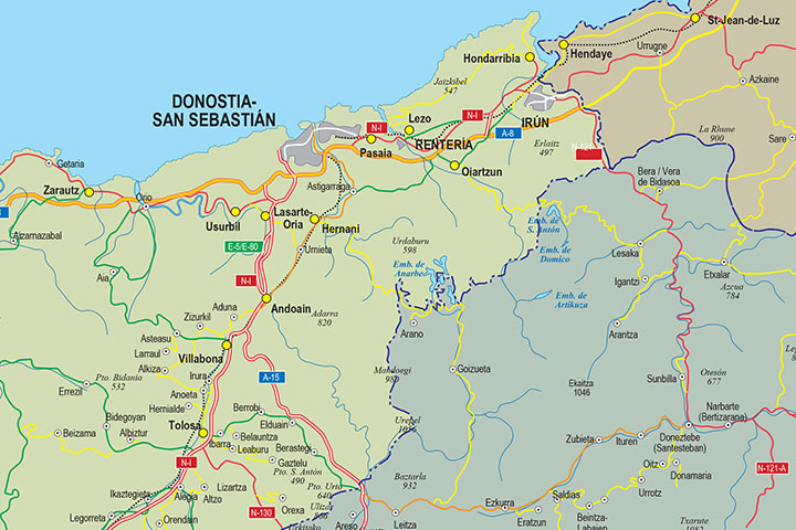
5- Euskal Herria map
Digital map at a scale of 1:300,000 of the 7 provinces that make up the Basque Country, with administrative boundaries, towns, road network, railway network, main rivers and lakes.
Files are downloaded in vector format, 100% editable and... Read more
Adobe Illustrator, Acrobat PDF
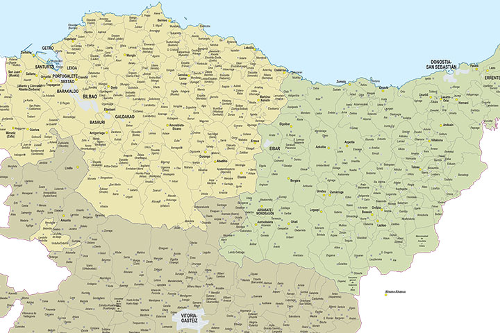
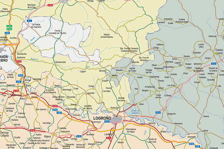
6- Map of Basque Country, Navarra and La Rioja
Map of the Basque Country, Navarra and La Rioja at a scale of 1: 300,000. Digital map with the provinces of the 3 autonomous communities, their municipalities, capitals, cities and towns grouped according to the number of inhabitants, network of... Read more
Adobe Illustrator, Acrobat PDF, JPG (300dpi)
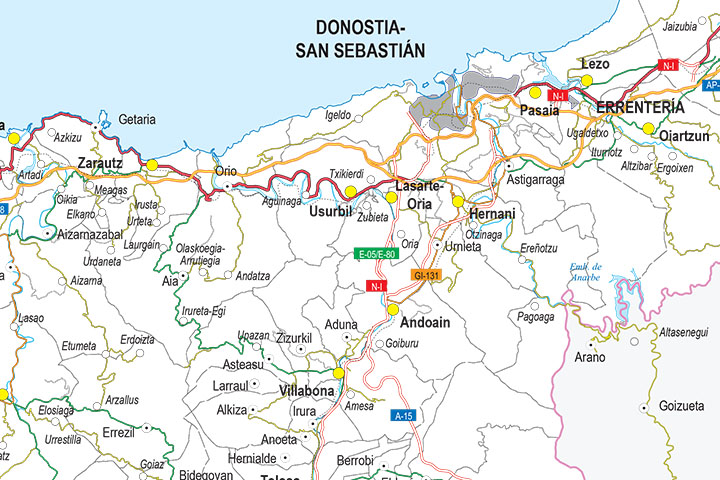
7- Map of Gipuzkoa
Vectorized file format map of province of GIPUZKOA or Guipúzcoa (autonomous community of the Basque Country) showing community, province and municipality boundaries, capitals, towns and cities, highways, major and minor roads, railroad, principal... Read more
Adobe Illustrator, PDF
