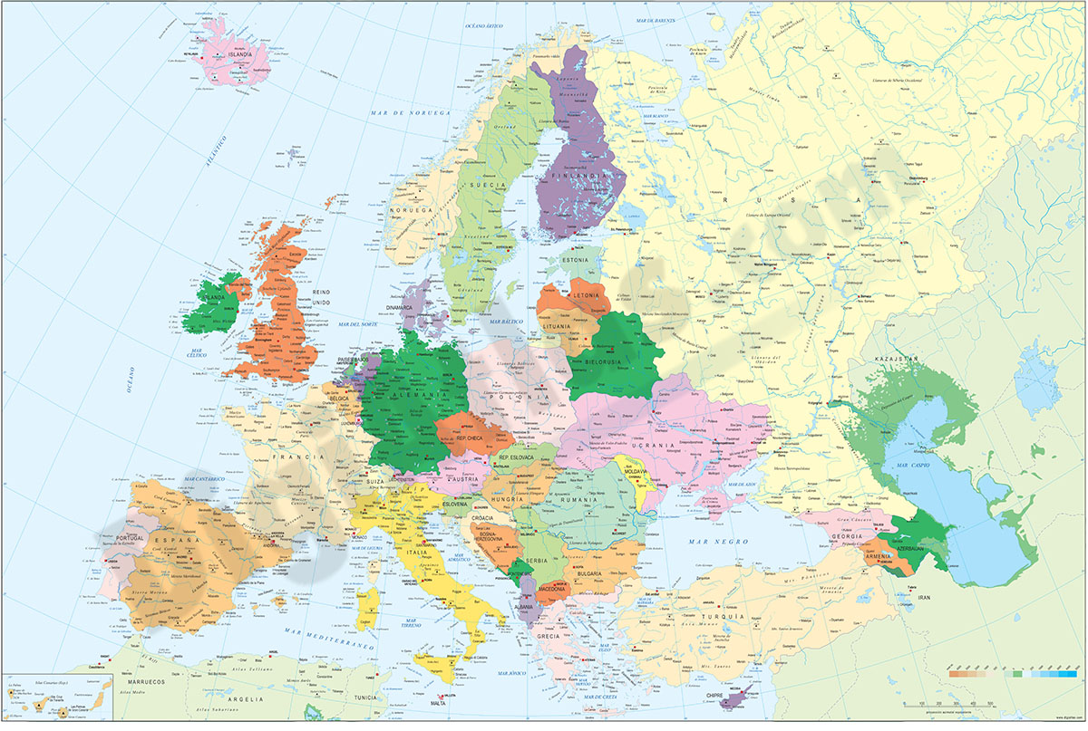
1- Europe political and geographical map
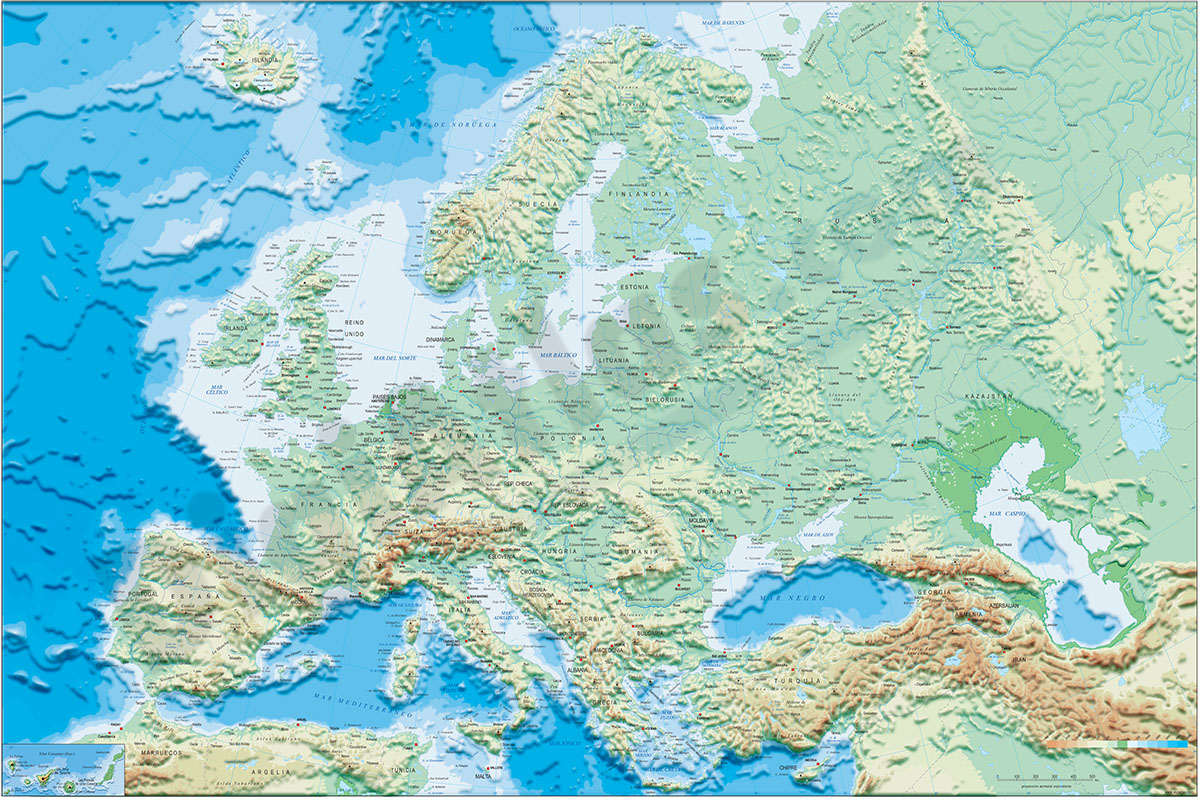
Digital physical and geographical map of Europe.
Digital cartography of the entire European continent with relevant physical and political information. Includes country borders, capitals, major rivers and lakes, important cities and geographical... Read more
Adobe Illustrator, Acrobat PDF + TIFF
2- Map of Belarus
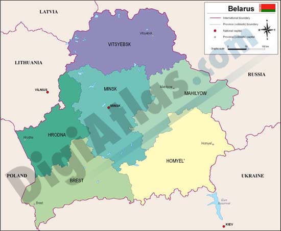
Fully editable vector file map of Belarus. Include political layers of inner administrative division, with their names and capitals.
Adobe Illustrator, Acrobat PDF