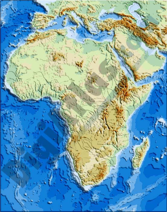
1- Africa political and geographical map
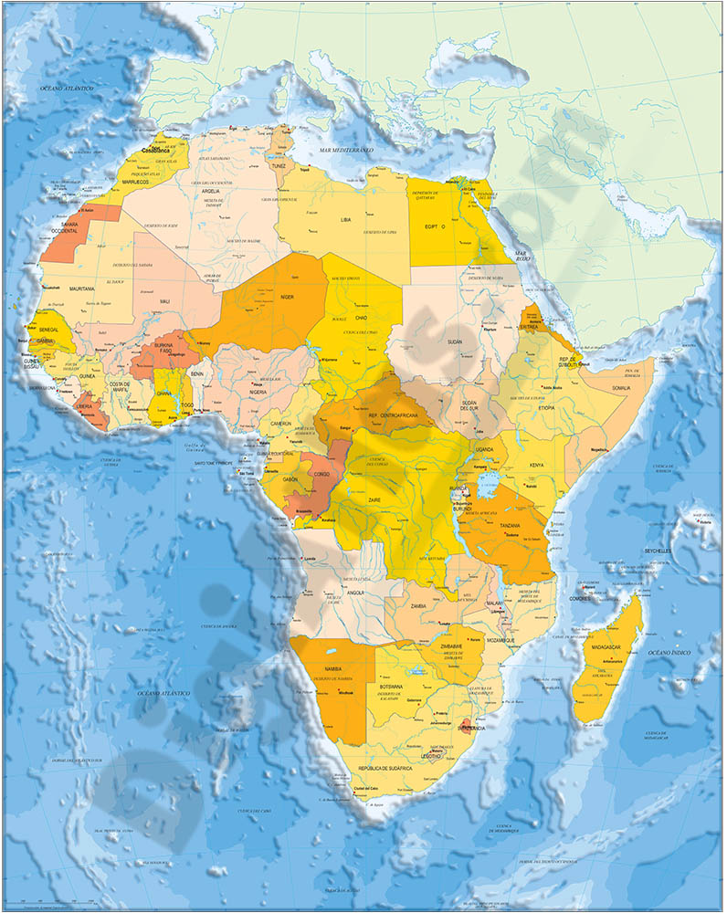
Fully editable vectorized file map of Africa with coloured countries, international boundaries, major lakes, important cities and capitals and relevant geographic features. Poster size map in high-resolution color shaded relief TIFF image.
Adobe Illustrator, PDF + TIFF, JPG (300dpi)
2- Map of Egypt
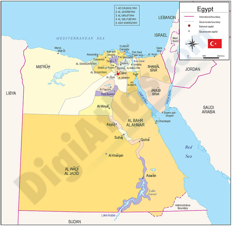
Political map of Egypt in digital format, showing their inner administrative division, with their names and capitals. Downolad a fully editable vector file organized in separate layers.
Adobe Illustrator, PDF