1- Asia physical vectorized-relief map

Digital map of Asia.
Map in 100% editable vector format of the entire Asian continent, with the altimetry and bathymetry strips coloured and separated in layers, all country borders with their capitals, geographical names and important towns.
A... Read more
Adobe Illustrator, Acrobat PDF, TIFF image
2- Asia political and geographical map

Digital political and geographical map of Asia.
Download 100% editable vectorized files with political and geographical layers of information (borders, countries, rivers, lakes, capitals, important cities and geographical names).
Includes a TIFF... Read more
Adobe Illustrator, Acrobat PDF, TIFF image
3- Map of Japan
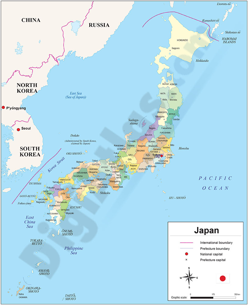
Digital political map of Japan with internal administrative division, names and capitals.
The map of Japan shows the boundaries of their 47 prefectures coloured. Downloadable files in 100% editable vector format.
Adobe Illustrator, Acrobat PDF
4- Map of Taiwan
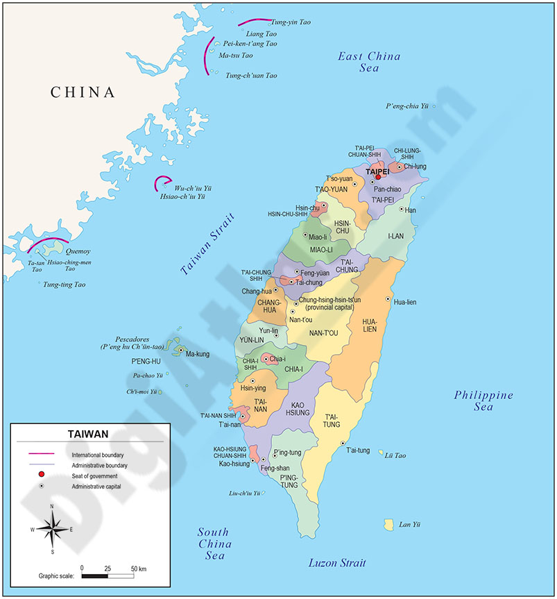
Digital map of Taiwan or the Republic of China (ROC).
The Republic of China is a state with limited recognition in East Asia, occupying the Taiwan archipelago since 1949, with its capital at Taipei. Other major cities include Kaohsiung, Taichung,... Read more
Adobe Illustrator, Acrobat PDF