1- Map of Zaragoza

Map of province of ZARAGOZA (Aragon, Spain) showing community and province boundaries, cities, highways, major and minor roads, railroad, principal rivers and lakes and other relevant political information. Scale 1:200.000.
Adobe Illustrator, Acrobat PDF
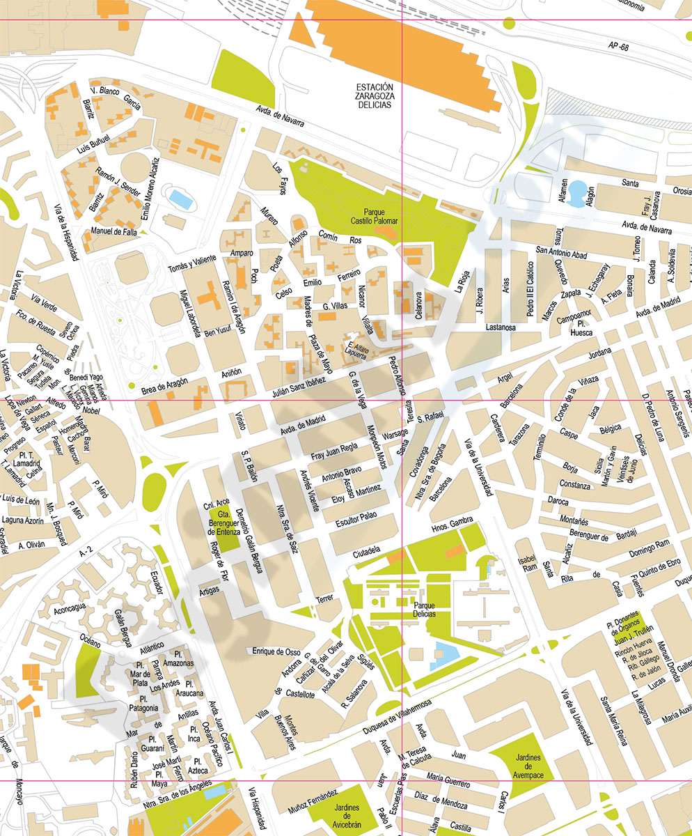
2- Zaragoza (Saragossa ) center - city map

Street map in digital format of the city centre of ZARAGOZA (Spain), with the delineation of streets and squares, blocks of houses, parks and green areas, with colours and names.
Available in 100% editable vector format organised in separate... Read more
Adobe Illustrator, Acrobat PDF