

PACK DIGIATLAS
Download up to 15 digital maps of your choice through a subscription to the 'Pack DigiAtlas'.
-Description:
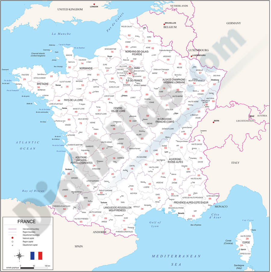
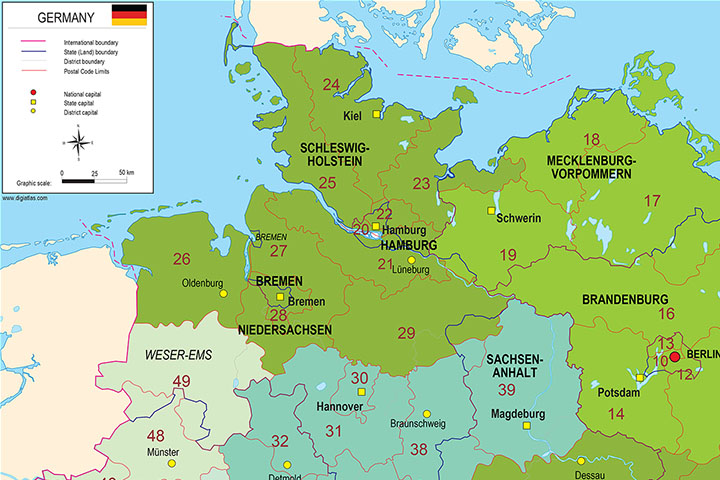
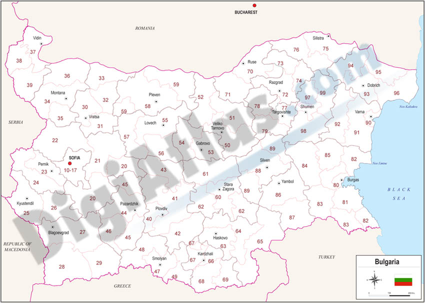
Vectorized maps of European countries with administrative division and 2-digit postcodes areas. Include Andorra, Austria, Belgium, Bulgaria, Czech Republic, Denmark, Germany, Finland, France, Greece, Hungary, Ireland, Italy, Netherlands, Norway, Poland, Portugal, Russian Federation, Slovakia, Slovenia, Spain, United Kingdom, Romania, Switzerland, Sweden and Turkey.
-Original measurements:
29x42 cm (A3) (Fully resizable vector file for High-quality printing).
-Download formats:
Adobe Illustrator, Acrobat PDF
-You can also request a quote » to modify this map and adapt it to your projects.
Download up to 15 digital maps of your choice through a subscription to the 'Pack DigiAtlas'.

Postcode maps of cities, regions and countries. Optionally with demographic data for geo-marketing projects.

City street maps with delineation of urban areas, streets, squares, parks, green areas, buildings of interest, etc.